
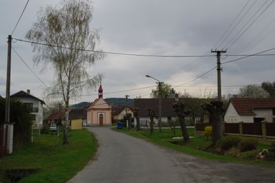
Třebýcina, neighborhood of Měčín
Location: Měčín
Elevation above the sea: 200 m
GPS coordinates: 49.46860,13.35720
Latest update: March 13, 2025 12:01
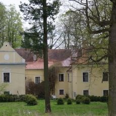
Otín Castle
2.8 km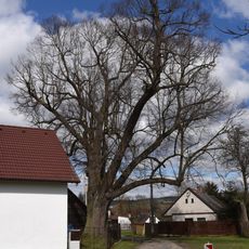
Malinecká lípa
2 km
Former synagogue in Malinec
2.4 km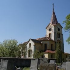
Church of All Saints
2.7 km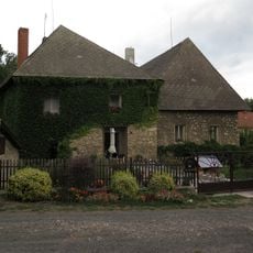
Měcholupy Old Castle
3.2 km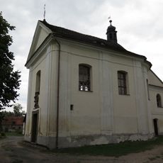
Chapel of Saint Apollonia
3.2 km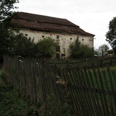
Granary in Měcholupy
3.2 km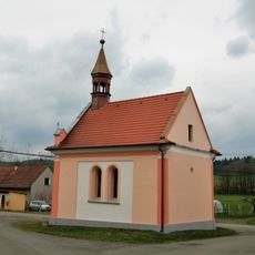
Chapel of Saint Adalbert
18 m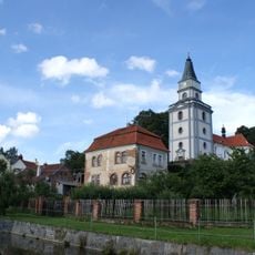
Church of Saint James the Greater
2.3 km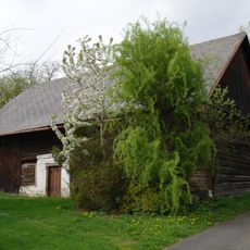
Stodola u čp. 4
3 km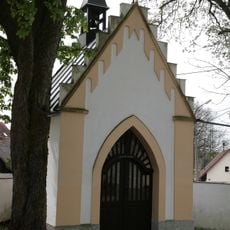
Chapel of Saint John of Nepomuk
2.9 km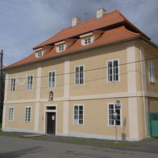
Fara
2.8 km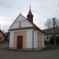
Kaple v Nedanicích
2.1 km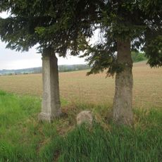
Kříž severovýchodně od Nedanic II
2.4 km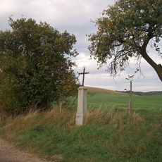
Kříž u Měčína na rozcestí
3.1 km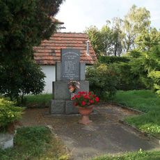
Pomník padlým v Malinci
2.4 km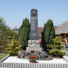
Pomník padlým ve Kbeli
2.9 km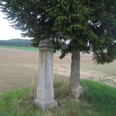
Kříž severovýchodně od Nedanic
2.4 km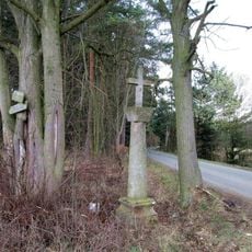
Kříž východně od Kaliště
3.2 km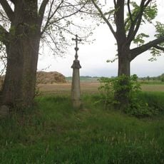
Kříž západně od Měčína
3.2 km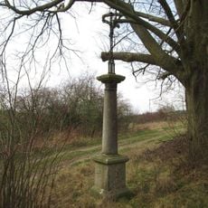
Kříž severně od Kbela
3.3 km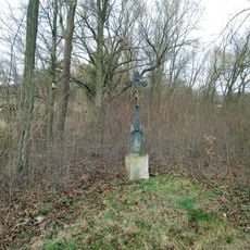
Kříž východně od Třebýcinky
3.2 km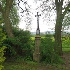
Kříž západně od Makova
3.3 km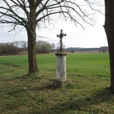
Kříž jižně od Kbela
2.5 km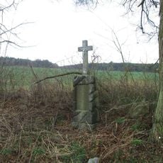
Kříž západně od Kbela
2.9 km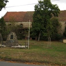
Sýpka
2.3 km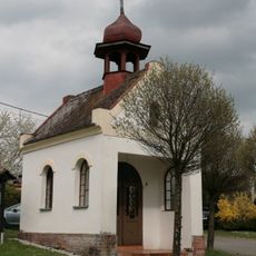
Chapel of Virgin Mary
3.1 km
Třebýcinka u Bezděkova
2.1 kmReviews
Visited this place? Tap the stars to rate it and share your experience / photos with the community! Try now! You can cancel it anytime.
Discover hidden gems everywhere you go!
From secret cafés to breathtaking viewpoints, skip the crowded tourist spots and find places that match your style. Our app makes it easy with voice search, smart filtering, route optimization, and insider tips from travelers worldwide. Download now for the complete mobile experience.

A unique approach to discovering new places❞
— Le Figaro
All the places worth exploring❞
— France Info
A tailor-made excursion in just a few clicks❞
— 20 Minutes