
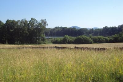
Červený rybník, protected area in Czech Republic
Location: Pihel
Inception: October 10, 2013
GPS coordinates: 50.73499,14.55204
Latest update: March 14, 2025 03:25

Skalice u České Lípy
1.8 km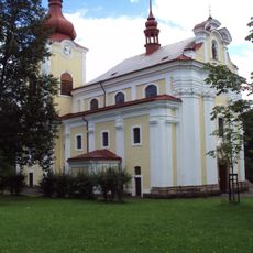
Římskokatolická farnost Sloup v Čechách
772 m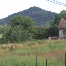
Langenauer Berg
1.8 km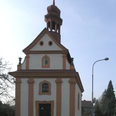
Římskokatolická farnost Skalice
741 m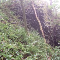
Kottowitzer Berg
1.4 km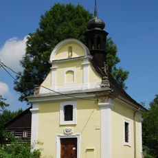
Chapel of Saint Mary Magdalene
1.6 km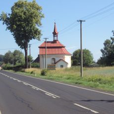
Chapel of Our Lady of the Snow
769 m
Chapel of the Visitation
743 m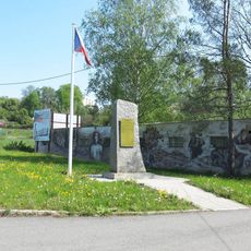
Památník poslední bitvy účastníků Rumburské vzpoury jižně od Nového Boru
1.6 km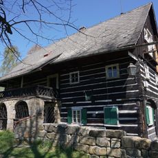
Pihel če. 15
838 m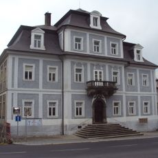
Dům čp. 135
564 m
Cross in Pihel near the house 48
672 m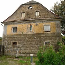
Skalice u České Lípy 284
1.6 km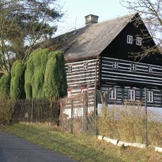
Pihel 146
495 m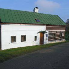
Chotovice 12
799 m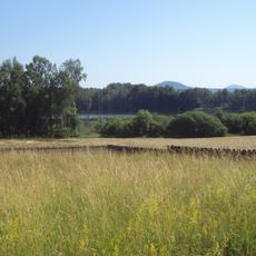
Červený rybník
56 m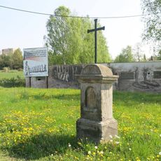
Kříž v ulici T.G.Masaryka jižně od Nového Boru
1.6 km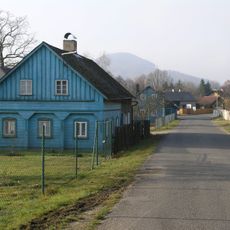
Janov 57
1.3 km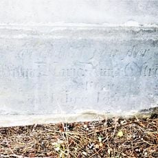
Kříž u silnice z Bukovan do Sloupu
1.8 km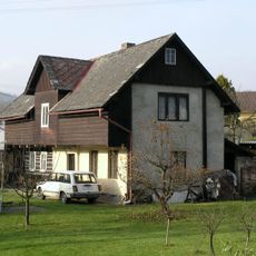
Chotovice 37
839 m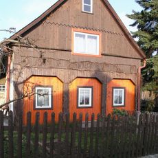
Pihel 199
515 m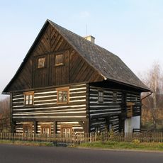
Pihel 121
1.1 km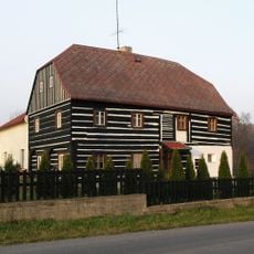
Bukovany 79
1.5 km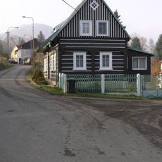
Chotovice 11
816 m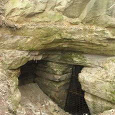
Skalice u České Lípy
1.8 km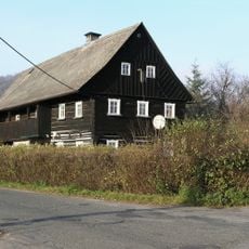
Pihel 36
512 m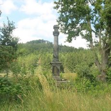
Sloup svatého Antonína u polní cesty jihovýchodně od Skalice
1.3 km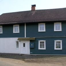
Chotovice 5
833 mVisited this place? Tap the stars to rate it and share your experience / photos with the community! Try now! You can cancel it anytime.
Discover hidden gems everywhere you go!
From secret cafés to breathtaking viewpoints, skip the crowded tourist spots and find places that match your style. Our app makes it easy with voice search, smart filtering, route optimization, and insider tips from travelers worldwide. Download now for the complete mobile experience.

A unique approach to discovering new places❞
— Le Figaro
All the places worth exploring❞
— France Info
A tailor-made excursion in just a few clicks❞
— 20 Minutes