
Otov, protected area in Czech Republic
Location: Svatý Tomáš
Inception: August 15, 2011
GPS coordinates: 48.63544,14.05873
Latest update: April 5, 2025 12:29
Vítkův kámen
3.5 km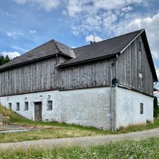
Unterhaag
4.7 km
Svatý Tomáš
4.1 km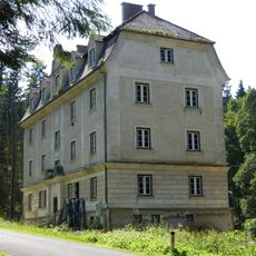
Diendorf - Customs building
4.7 km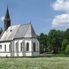
Church of Corpus Christi in Svatý Tomáš
3.5 km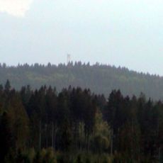
Wittigstein
3.4 km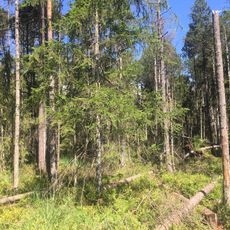
Naturreservat Bayrische Au
4.1 km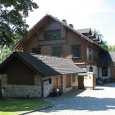
Hunting lodge
3.4 km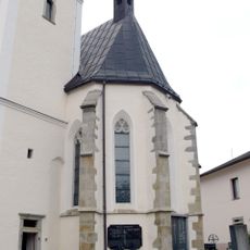
St.Oswald bei Haslach parish church
2.8 km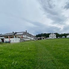
Oberhaag
4.4 km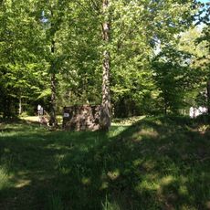
Schwedenschanze
4.4 km
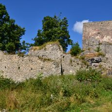
Burgruine Morau
1.8 km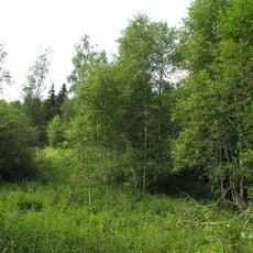
Niva Horského potoka
3.8 km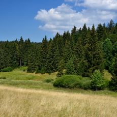
Otovský potok
944 m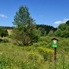
Rožnov
3.9 km
Schloss Zarghof
3.9 km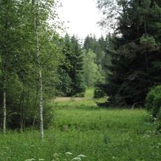
Niva Horského potoka II
4.5 km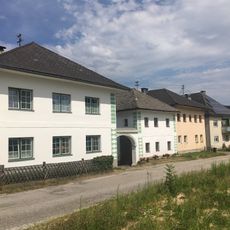
Unterneudorf
4.6 km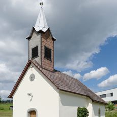
Ortskapelle
3.8 km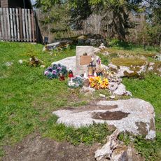
Pomník pod Vítkovým kamenem
3.5 km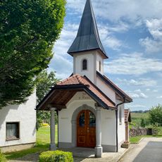
Saint Mary Chapel
5.1 km
Pomník Miloše Candry
3.5 km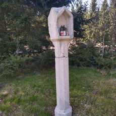
Boží muka ve Svatém Tomáši
3 km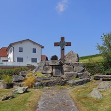
Vertriebenendenkmal St. Oswald bei Haslach
2.5 km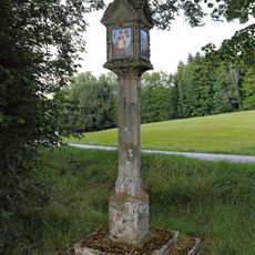
Bildstock nördlich von Lichtenau
4.8 km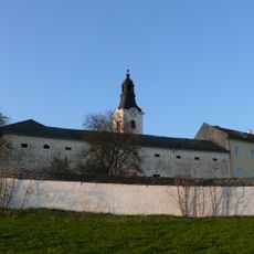
Pfarrhof
2.8 km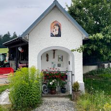
Oberhaag Chapel
4.4 km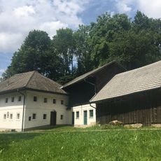
Wurmbrandmühle
3.9 kmReviews
Visited this place? Tap the stars to rate it and share your experience / photos with the community! Try now! You can cancel it anytime.
Discover hidden gems everywhere you go!
From secret cafés to breathtaking viewpoints, skip the crowded tourist spots and find places that match your style. Our app makes it easy with voice search, smart filtering, route optimization, and insider tips from travelers worldwide. Download now for the complete mobile experience.

A unique approach to discovering new places❞
— Le Figaro
All the places worth exploring❞
— France Info
A tailor-made excursion in just a few clicks❞
— 20 Minutes