
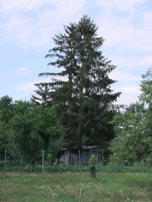
Smrk, memorable tree in Kroměříž District, Czech Republic
Location: Chropyně
Height: 20 m
GPS coordinates: 49.35473,17.36358
Latest update: March 2, 2025 22:19
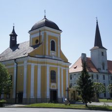
Church of Saint Giles (Chropyně)
201 m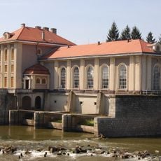
MVE Strž
4.1 km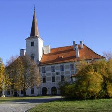
Castle Chropyně
128 m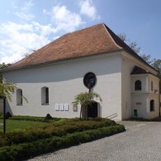
Former synagogue in Kojetín
4.5 km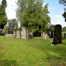
Jewish community in Kojetín
4.8 km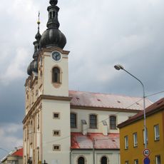
Church of the Assumption of the Virgin Mary
4.3 km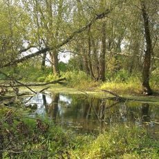
Rameno Moravy
3.4 km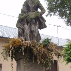
Sochy svatého Václava a svaté Anny
4.7 km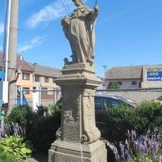
Socha svatého Vendelína
3.7 km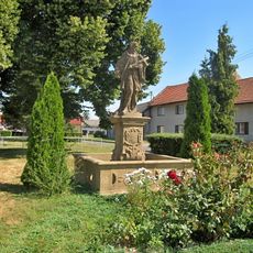
Socha svatého Jana Nepomuckého
3.8 km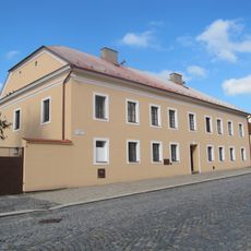
Fara
4.3 km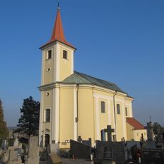
All Saints church
3.9 km
Hotel Pivovar
4.4 km
Morový sloup, socha sv. Floriána a socha sv. Vendelína
4.4 km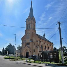
Church of the Holy Guardian Angels
3.7 km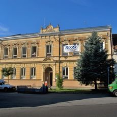
Škola
4.9 km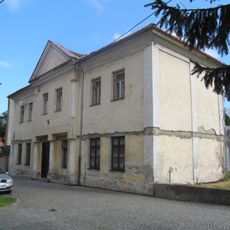
Bývalý židovský obecní dům
4.5 km
Boží muka
4.7 km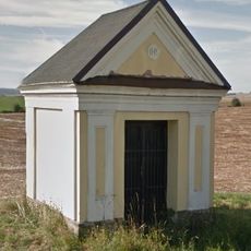
Kaplička
4.2 km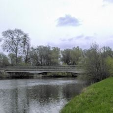
Miňůvský most
3.4 km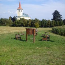
Hradiště Hradisko
3.9 km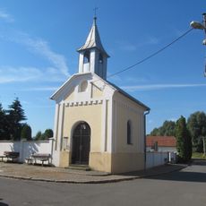
Chapel of Saint Joseph
2.1 km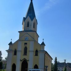
Church of Saint Florian
4.9 km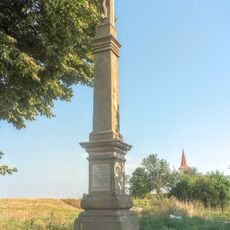
Krucifix
4 km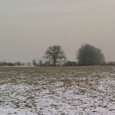
Dub u Wolfova splávku
4 km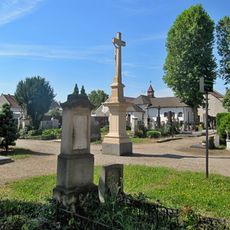
Cemetery in Chropyně
619 m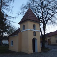
Chapel of Saint Florian
3.1 km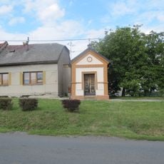
Chapel of Saint John of Nepomuk
4.9 kmReviews
Visited this place? Tap the stars to rate it and share your experience / photos with the community! Try now! You can cancel it anytime.
Discover hidden gems everywhere you go!
From secret cafés to breathtaking viewpoints, skip the crowded tourist spots and find places that match your style. Our app makes it easy with voice search, smart filtering, route optimization, and insider tips from travelers worldwide. Download now for the complete mobile experience.

A unique approach to discovering new places❞
— Le Figaro
All the places worth exploring❞
— France Info
A tailor-made excursion in just a few clicks❞
— 20 Minutes