
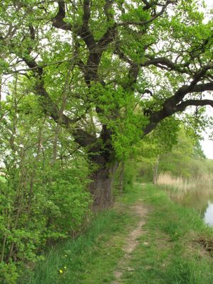
Dub u rybníka Louňov, memorable tree in Benešov District, Czech Republic
Location: Načeradec
Height: 17 m
GPS coordinates: 49.60971,14.87069
Latest update: April 5, 2025 22:29
Blaník Protected Landscape Area
3.1 km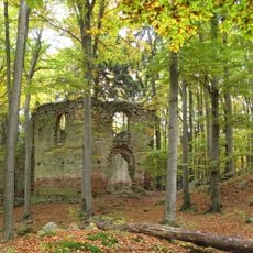
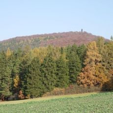
Malý Blaník
2.2 km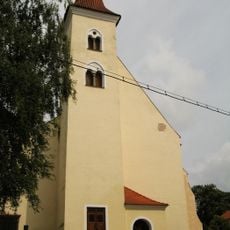
Church of Saints Peter and Paul
2.6 km
Podlesí (nature reserve)
1.6 km
Velký Mnich
2.4 km
Rybník Louňov
58 m
Hadce u Hrnčíř
3 km
Jewish cemetery in Načeradec
2.3 km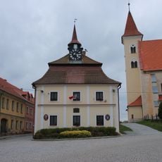
Radnice v Načeradci
2.6 km
Muzeum venkova v Kamberku
2.8 km
Synagogue in Načeradec
2.5 km
Church of Saint Martin (Kamberk)
2.7 km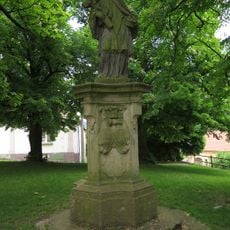
Socha svatého Jana Nepomuckého
2.6 km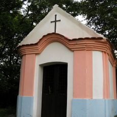
Kaple
1.8 km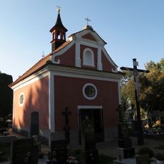
Chapel of Saint Anne
3 km
Chapel of Saint Mary Magdalene at Malý Blaník
2.4 km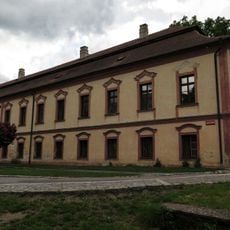
Chateau Načeradec
2.6 km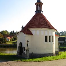
Chapel of Saint Adalbert
3 km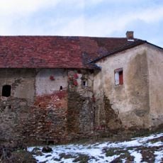
Fara
2.9 km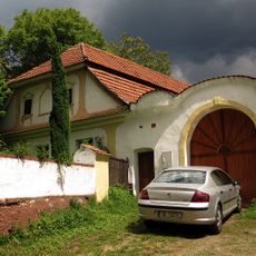
Dům čp. 5
2.6 km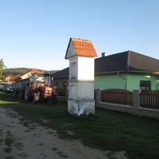
Kaplička na křížové cestě u Načeradce - 1. zastavení
3 km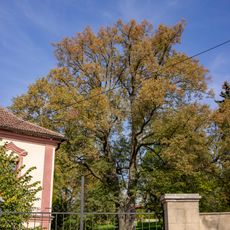
Lípa v Načeradci
2.6 km
Usedlost čp. 13
2.6 km
Usedlost čp. 6
2.6 km
Podlesí
1.6 km
Kaplička na křížové cestě u Načeradce - 2. zastavení
3.1 km
Kříž u Načeradce u silnice do Karhule
2.4 km
Pamětní kříž v Předbořicích
3 kmVisited this place? Tap the stars to rate it and share your experience / photos with the community! Try now! You can cancel it anytime.
Discover hidden gems everywhere you go!
From secret cafés to breathtaking viewpoints, skip the crowded tourist spots and find places that match your style. Our app makes it easy with voice search, smart filtering, route optimization, and insider tips from travelers worldwide. Download now for the complete mobile experience.

A unique approach to discovering new places❞
— Le Figaro
All the places worth exploring❞
— France Info
A tailor-made excursion in just a few clicks❞
— 20 Minutes