
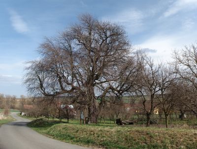
Hruška v Horním poli, memorable tree in Uherské Hradiště District, Czech Republic
Location: Slavkov
Location: Horní Němčí
Height: 13 m
GPS coordinates: 48.94001,17.61668
Latest update: April 4, 2025 09:39
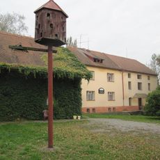
Bartkův mlýn
4.3 km
Babí hora
4.3 km
Svodnice
10.2 km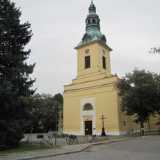
Church of the Holy Guardian Angels in Nivnice
4.5 km
Za lesem
4.6 km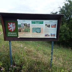
Drahy
2.7 km
Nádavky
2.9 km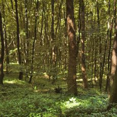
Uvezené
4.2 km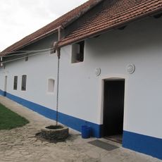
Stojaspalův mlýn
3.7 km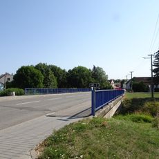
Most Družební ulice v Nivnici přes Nivničku
4.6 km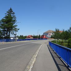
Most Komenského ulice přes Nivničku v Nivnici
4.1 km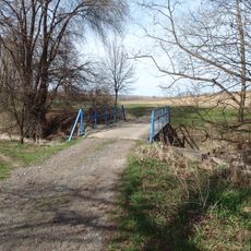
Most přes Okluky u jihovýchodního konce Slavkova
484 m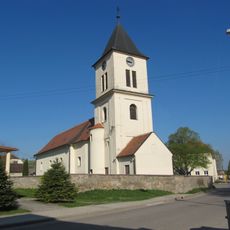
Church of Saints Peter and Paul
1 km
Church of Saints Philip and James
4.1 km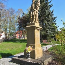
Socha svatého Floriána
4.2 km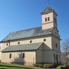
Church of Saint Wenceslaus
3.5 km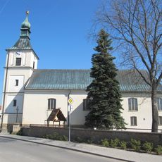
Church of Saint Catherine
3.2 km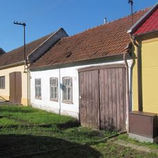
Dům čp. 210
3.4 km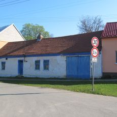
Usedlost čp. 48
1.4 km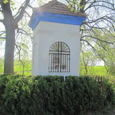
Boží muka
4 km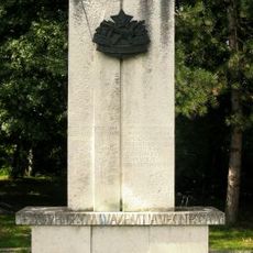
Pomník II. světové války
2.1 km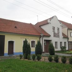
Sedlcká chalupa
4.5 km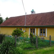
Usedlost čp. 236
508 m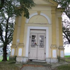
Chapel of the Virgin Mary of the Rosary
4.2 km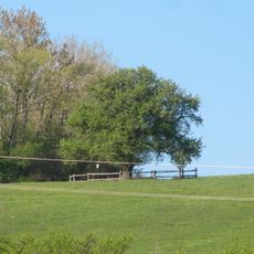
Hruška Pavlových
3 km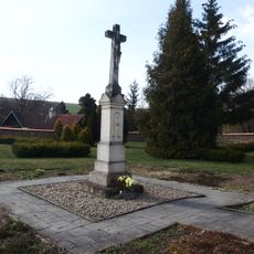
Old cemetery in Horní Němčí
522 m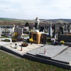
Cemetery in Slavkov
339 m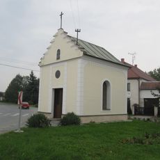
Chapel of Saint John of Nepomuk
4.7 kmVisited this place? Tap the stars to rate it and share your experience / photos with the community! Try now! You can cancel it anytime.
Discover hidden gems everywhere you go!
From secret cafés to breathtaking viewpoints, skip the crowded tourist spots and find places that match your style. Our app makes it easy with voice search, smart filtering, route optimization, and insider tips from travelers worldwide. Download now for the complete mobile experience.

A unique approach to discovering new places❞
— Le Figaro
All the places worth exploring❞
— France Info
A tailor-made excursion in just a few clicks❞
— 20 Minutes