
Bau, protected area in Czech Republic
Location: Podhradí nad Dyjí
Inception: 2013
GPS coordinates: 48.90913,15.69143
Latest update: May 8, 2025 14:39
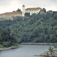
Bítov Castle
3.9 km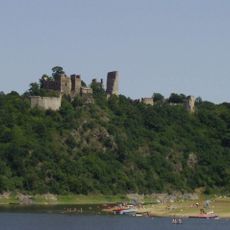
Cornštejn Castle
3.3 km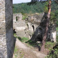
Frejštejn
1.2 km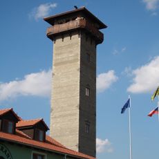
Rozhledna Rumburak
4 km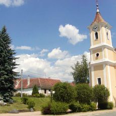
Kostel svatého Vavřince
4 km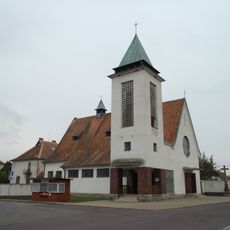
Church of Saint Wenceslaus
4.1 km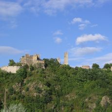
Cornštejn
3.2 km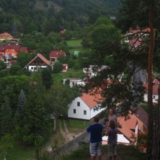
Podhradské skály
620 m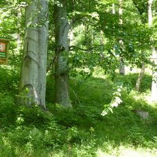
U doutné skály
3.9 km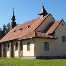
Church of the Sacred Heart
2.5 km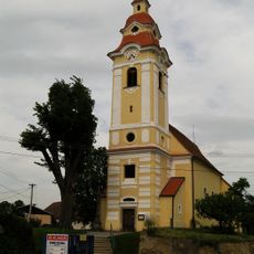
Church of the Beheading of Saint John the Baptist
3.8 km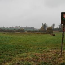
Uherčická louka
3.8 km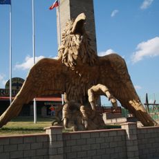
Rumburak
4.2 km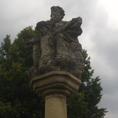
Holy Trinity column in Podhradí nad Dyjí
1.1 km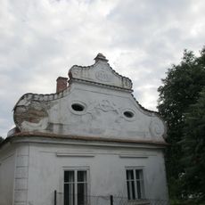
Dům čp. 79
1.1 km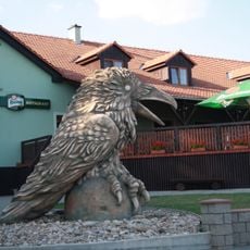
Krkavec
4.1 km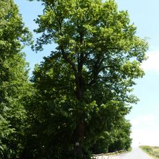
Památné stromy u hradu
3.6 km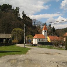
Chapel of Saint Peter and Paul
1.1 km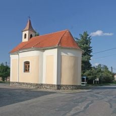
Chapel of Saint Michael
4 km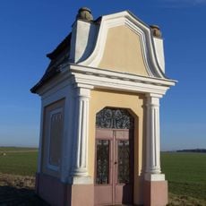
Kaplička
3.4 km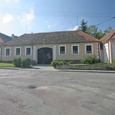
Jiná obytná stavba
3.5 km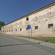
Panský dvůr s areálem
3.6 km
Smrk s obrázkem
3.7 km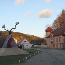
Cosmically Timed Parapyramidal Potency
1.2 km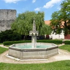
Kašna na nádvoří hradu Bítova
3.9 km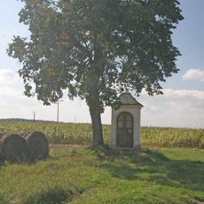
Kaplička severozápadně od Vysočan
3.8 km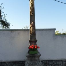
Kříž v Bítově u vchodu do kostela
4.1 km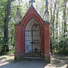
Červená kaplička na cestě z hradu Bítova do obce Bítov
3.8 kmReviews
Visited this place? Tap the stars to rate it and share your experience / photos with the community! Try now! You can cancel it anytime.
Discover hidden gems everywhere you go!
From secret cafés to breathtaking viewpoints, skip the crowded tourist spots and find places that match your style. Our app makes it easy with voice search, smart filtering, route optimization, and insider tips from travelers worldwide. Download now for the complete mobile experience.

A unique approach to discovering new places❞
— Le Figaro
All the places worth exploring❞
— France Info
A tailor-made excursion in just a few clicks❞
— 20 Minutes