
Buk u Rozhraní, memorable tree in Svitavy District, Czech Republic
Location: Rozhraní
Height: 30 m
GPS coordinates: 49.60095,16.53894
Latest update: April 17, 2025 22:52

Löw-Beer's factory
3.2 km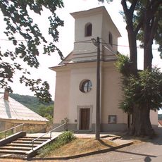
Church of the Exaltation of the Holy Cross
899 m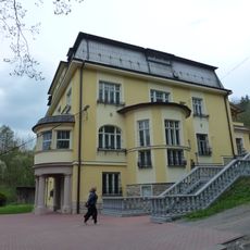
Vila Löw-Beer
2.5 km
Zámek Křetín
5 km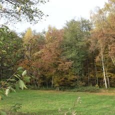
Babolský háj
2.7 km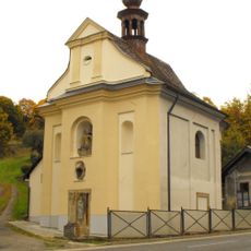
Chapel of Fourteen Holy Helpers
4.3 km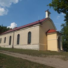
Evangelical church in Moravská Chrastová
3 km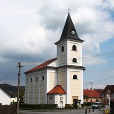
Church of Saint Jerome
5.1 km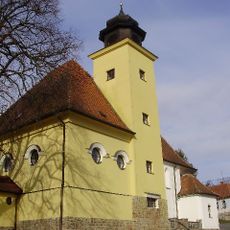
Church of Saint Andrew
4.3 km
Church of Saints Peter and Paul
2.2 km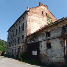
Fritzův mlýn
4.8 km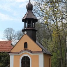
Chapel of the Holy Name of Mary (Prostřední Poříčí)
4.8 km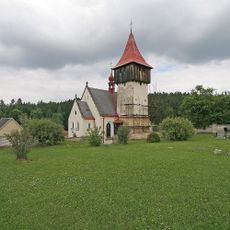
Church of Saint Catherine of Alexandria
5.3 km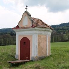
Chapel of Holy Trinity (Horní Poříčí)
4.8 km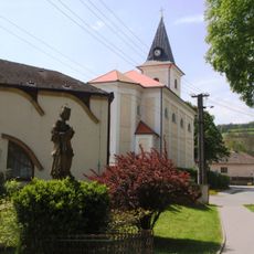
Socha svatého Jana Nepomuckého
5.1 km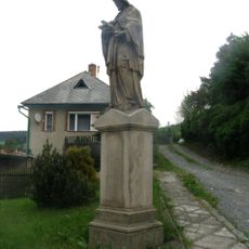
Socha svatého Jana Nepomuckého
5.1 km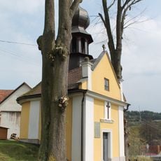
Chapel of the Assumption
4.7 km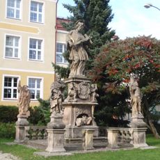
Sculpture of Saint John of Nepomuk with saints
5.2 km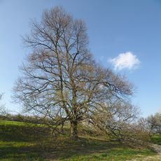
Babolecká lípa
3.4 km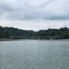
Vn Letovice, most
5.1 km
Moravské náměstí čp. 65
5.1 km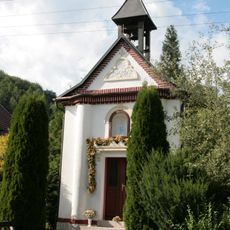
Chapel of Saint Cyril and Methodius
1.9 km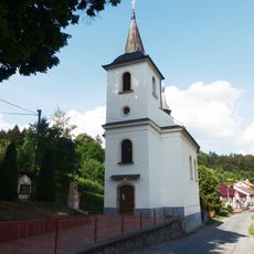
Church of Holy Trinity
3.3 km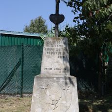
Wayside cross with coat of arms of Horní Smržov
3.6 km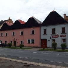
Městský dům
5.1 km
Lípa v Horákově Lhotě
3.9 km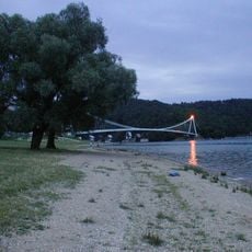
Vn Letovice, Vranova
5 km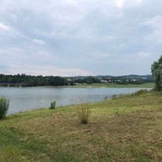
Vn Letovice, Svitavice
4.7 kmReviews
Visited this place? Tap the stars to rate it and share your experience / photos with the community! Try now! You can cancel it anytime.
Discover hidden gems everywhere you go!
From secret cafés to breathtaking viewpoints, skip the crowded tourist spots and find places that match your style. Our app makes it easy with voice search, smart filtering, route optimization, and insider tips from travelers worldwide. Download now for the complete mobile experience.

A unique approach to discovering new places❞
— Le Figaro
All the places worth exploring❞
— France Info
A tailor-made excursion in just a few clicks❞
— 20 Minutes