Dřel, zrúcanina hradu v Česku
Location: Koldín
Architectural style: Gothic architecture
GPS coordinates: 50.05298,16.24898
Latest update: January 4, 2024 15:44
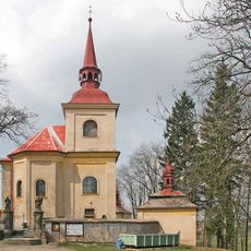
Church of Our Lady of Sorrows
754 m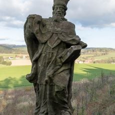
Socha sv. Vojtěcha
718 m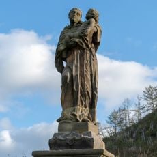
Socha sv. Antonína Paduánského
693 m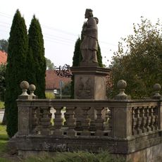
Socha svatého Jana Nepomuckého
1 km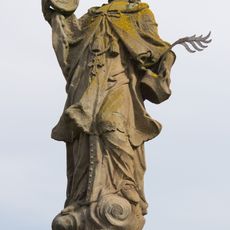
Socha svatého Jana Nepomuckého
1.5 km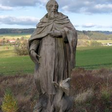
Socha sv. Felixe z Valois
705 m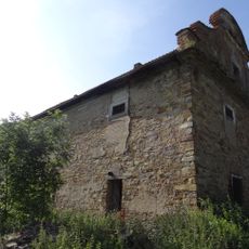
Granary
1.1 km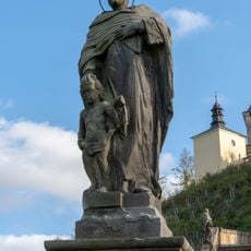
Socha sv. Vincence de Paula
688 m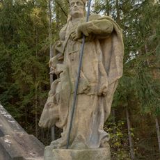
Socha sv. Linharta
715 m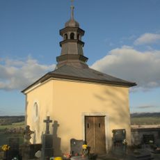
Kaple Nanebevzetí Panny Marie
752 m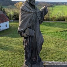
Socha sv. Jana z Mathy
701 m
Socha Svatého Antonína v Borovnici
1.1 km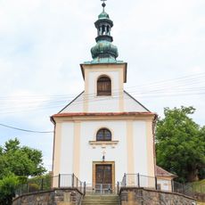
Kostel svaté Anny
1.8 km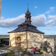
Kostnice u kostela Panny Marie v Homoli
772 m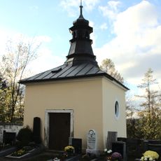
Kaple sv. Jana Nepomuckého
733 m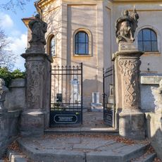
Ohradní zeď kostela Panny Marie Bolestné v Lhotách u Potštejna
763 m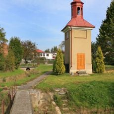
Kaplička v Borovnici
1 km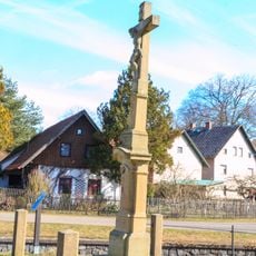
Kříž Lhoty u Potštejna
1.5 km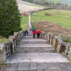
Schodiště s balustrádou
699 m
Schodiště ke kostelu Panny Marie na Homoli
707 m
Wayside cross, Christianity, Catholic church building
1.4 km
Wayside cross
1.3 km
Wayside cross
1 km
Wayside cross
1.5 km
Wayside cross
1.1 km
Wayside cross
1.5 km
Scenic viewpoint
745 m
Tvrz Dřel
59 mReviews
Visited this place? Tap the stars to rate it and share your experience / photos with the community! Try now! You can cancel it anytime.
Discover hidden gems everywhere you go!
From secret cafés to breathtaking viewpoints, skip the crowded tourist spots and find places that match your style. Our app makes it easy with voice search, smart filtering, route optimization, and insider tips from travelers worldwide. Download now for the complete mobile experience.

A unique approach to discovering new places❞
— Le Figaro
All the places worth exploring❞
— France Info
A tailor-made excursion in just a few clicks❞
— 20 Minutes