
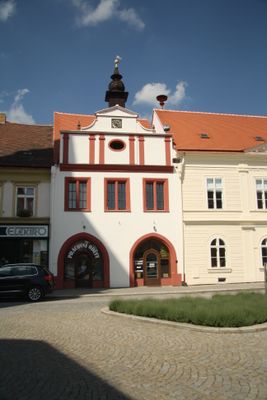
Bývalá radnice, house in Jemnice, Czech Republic
Location: Jemnice
Inception: 16 century
GPS coordinates: 49.01908,15.57057
Latest update: March 5, 2025 00:38
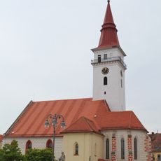
Church of Saint Stanislaus
46 m
Muzeum Jemnice
75 m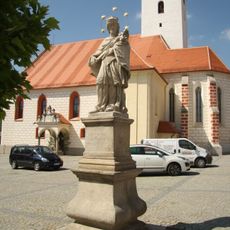
Socha svatého Jana Nepomuckého
66 m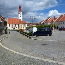
Náměstí Svobody (Jemnice)
105 m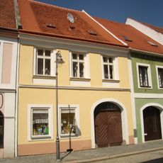
Husova 101
58 m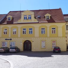
Náměstí Svobody 77
83 m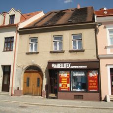
Náměstí Svobody 37
66 m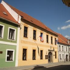
Nová radnice
77 m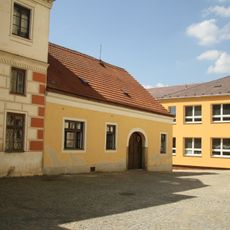
Náměstí Svobody 80
94 m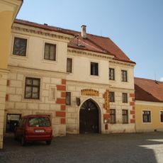
Bývalý hostinec U Bílého koníčka
99 m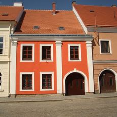
Husova 97
24 m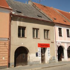
Husova 99
44 m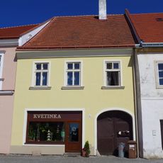
Náměstí Svobody 35
95 m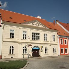
Bývalý okresní soud
13 m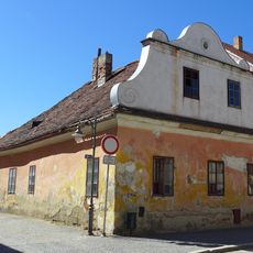
Havlíčkovo náměstí 15
122 m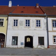
Náměstí Svobody 34
98 m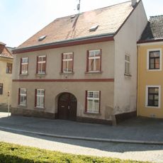
Náměstí Svobody 70
93 m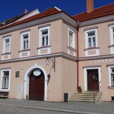
Náměstí Svobody 36
79 m
Náměstí Svobody 93
17 m
Městská památková zóna Jemnice
86 m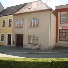
Náměstí Svobody 72
85 m
Husova 103, pův. 102
66 m
Husova 98
34 m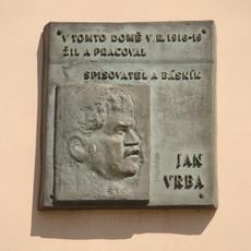
Pamětní deska Jana Vrby
75 m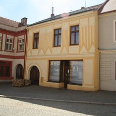
Náměstí Svobody 74
88 m
Husova 104
88 m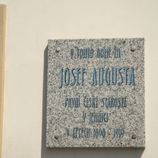
Pamětní deska Josefa Augusty
111 m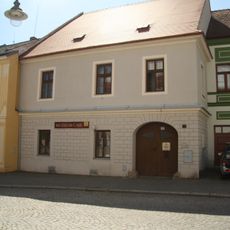
Městský dům - městské muzeum, čp. 75
75 mReviews
Visited this place? Tap the stars to rate it and share your experience / photos with the community! Try now! You can cancel it anytime.
Discover hidden gems everywhere you go!
From secret cafés to breathtaking viewpoints, skip the crowded tourist spots and find places that match your style. Our app makes it easy with voice search, smart filtering, route optimization, and insider tips from travelers worldwide. Download now for the complete mobile experience.

A unique approach to discovering new places❞
— Le Figaro
All the places worth exploring❞
— France Info
A tailor-made excursion in just a few clicks❞
— 20 Minutes