
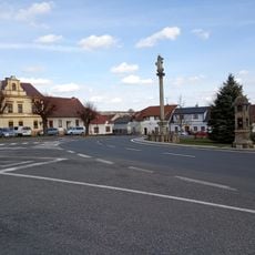
Okresní dům, building in Czech Republic
Location: Dvůr Králové nad Labem
GPS coordinates: 50.43082,15.81603
Latest update: March 17, 2025 21:29

Tourist footpath nr. 0427
199 m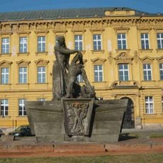
Memorial of the Resistance
240 m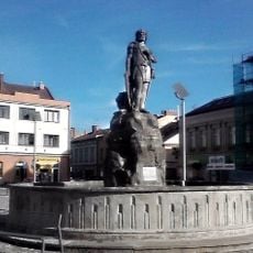
Fountain in Dvůr Králové nad Labem
168 m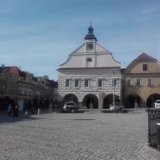
Town hall in Dvůr Králové nad Labem
231 m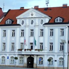
New town hall in Dvůr Králové nad Labem
136 m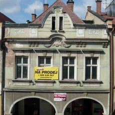
Měšťanský dům
257 m
Měšťanský dům
182 m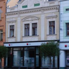
Městský dům
164 m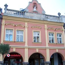
Náměstí T. G. Masaryka 85
238 m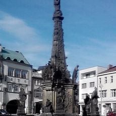
Maria column in Dvůr Králové nad Labem
179 m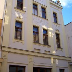
Městský dům
211 m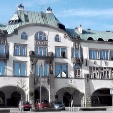
Town savings bank
205 m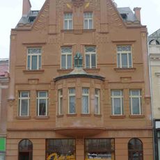
Náměstí T. G. Masaryka 57
152 m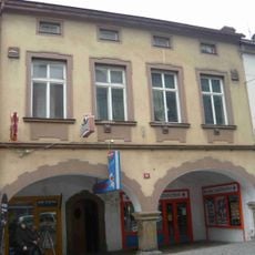
Měšťanský dům
263 m
Clock
214 m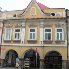
Měšťanský dům
251 m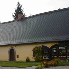
Venkovský dům
122 m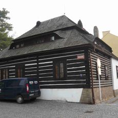
Městský dům
122 m
Hotel - Grandhotel
205 m
Cage
212 m
Měšťanský dům
244 m
Meerkats
28 m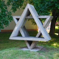
Star of David
39 m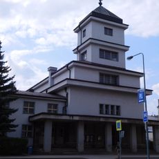
Hussite church
272 m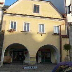
Měšťanský dům
222 m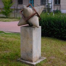
Hedgehog in the Cage
203 m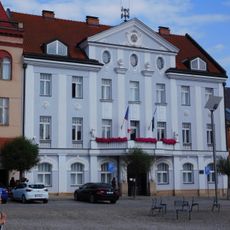
Dvůr Králové nad Labem municipal office
137 m
1914-18 War
9 mReviews
Visited this place? Tap the stars to rate it and share your experience / photos with the community! Try now! You can cancel it anytime.
Discover hidden gems everywhere you go!
From secret cafés to breathtaking viewpoints, skip the crowded tourist spots and find places that match your style. Our app makes it easy with voice search, smart filtering, route optimization, and insider tips from travelers worldwide. Download now for the complete mobile experience.

A unique approach to discovering new places❞
— Le Figaro
All the places worth exploring❞
— France Info
A tailor-made excursion in just a few clicks❞
— 20 Minutes