
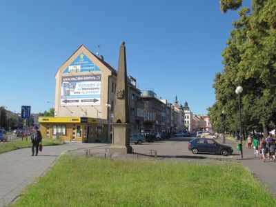
Hraniční kámen - pylon, kulturní památka České republiky na území obce Kroměříž, rejstříkové číslo 101312
Location: Kroměříž
Part of: political border
GPS coordinates: 49.30091,17.39869
Latest update: April 30, 2025 10:22
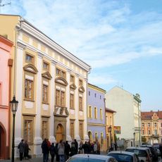
Jewish town hall in Kroměřiž
314 m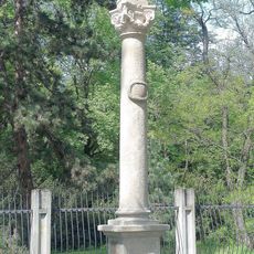
Sloup se sochou svatého Jana Nepomuckého
77 m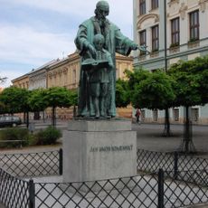
Statue of Comenius in Kroměříž
212 m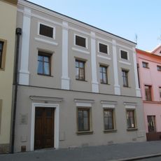
Moravcova 261
334 m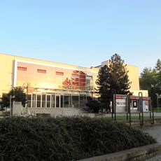
Dům kultury
284 m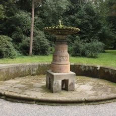
Roman Fountain
220 m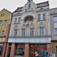
Vodní 88
310 m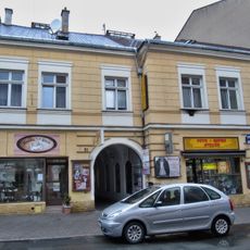
Šotorovský dům
259 m
Ztracená 78 a Vodní 104
299 m
Moravcova 254
277 m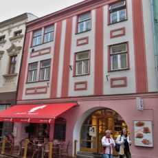
Vodní 92
342 m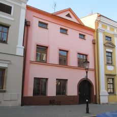
Moravcova 260
323 m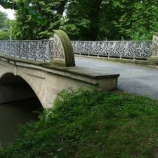
Silver Bridge
314 m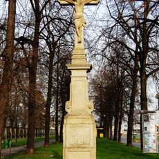
Kříž
57 m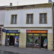
Altelandský dům
284 m
Moravcova 248
338 m
Moravcova 253
294 m
Vodní 91
333 m
Moravcova 250
318 m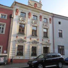
Moravcova 249
328 m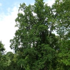
Liliovník v Podzámecké zahradě
260 m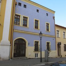
Moravcova 258
294 m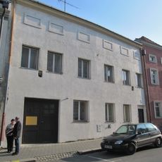
Moravcova 252
307 m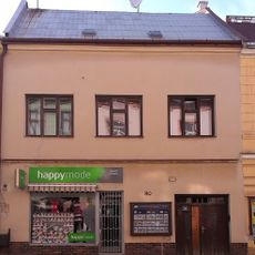
Figarovský dům
275 m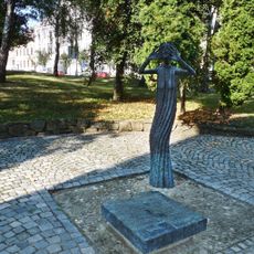
Holocaust memorial in Kroměříž
315 m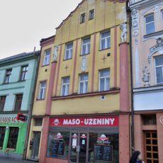
Vodní 87
295 m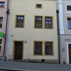
Moravcova 262
341 m
Švabinského nábřeží
295 mReviews
Visited this place? Tap the stars to rate it and share your experience / photos with the community! Try now! You can cancel it anytime.
Discover hidden gems everywhere you go!
From secret cafés to breathtaking viewpoints, skip the crowded tourist spots and find places that match your style. Our app makes it easy with voice search, smart filtering, route optimization, and insider tips from travelers worldwide. Download now for the complete mobile experience.

A unique approach to discovering new places❞
— Le Figaro
All the places worth exploring❞
— France Info
A tailor-made excursion in just a few clicks❞
— 20 Minutes