
Mohylník, Hügelgrab in Tschechien
Location: Hosín
Location: Červený Újezdec
GPS coordinates: 49.03189,14.51277
Latest update: November 11, 2025 00:19
Orty
1.4 km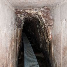
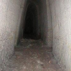
Eliášova dědičná štola
2.1 km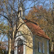
Chapel of Our Lady of Lourdes
1.9 km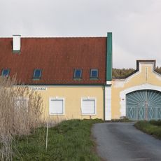
Chyňava
1.2 km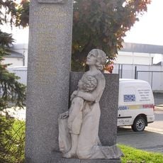
Pomník padlých
1.7 km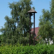
Zvonička na Borku
1.6 km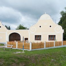
Usedlost čp. 1
2.2 km
Mohylník
2.2 km
Bridge of D3 highway over the Kyselá voda
1.1 km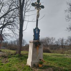
Kříž pod Humny
2.3 km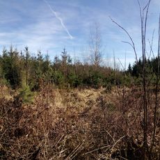
Mohylník
1.5 km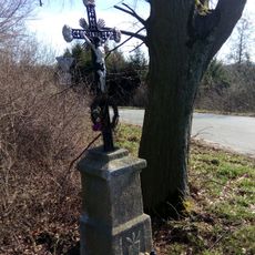
Čížků kříž
2.3 km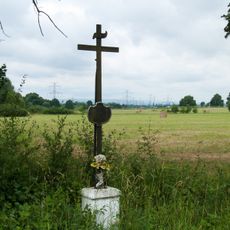
Kříž u cesty na Borek
2.2 km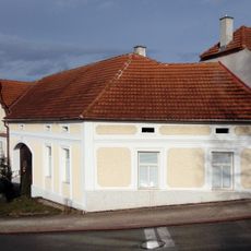
Usedlost čp. 9
2.3 km
Mohylník
2.3 km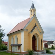
Chapel of Saint Wenceslaus
2.2 km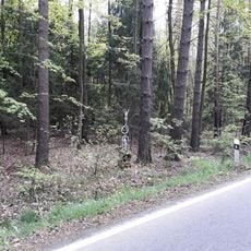
Kříž v lese západně od Lhotic
2.2 km
Mohylník, archeologické stopy
280 m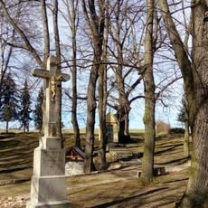
Kříž na Těšíně
1.9 km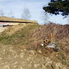
Former observation point of the civil defense forces
2 km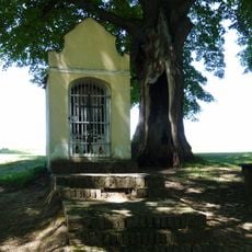
Výklenková kaple na Těšíně
1.9 km
Křížek na Borku
1.4 km
Kříž u Chyňavy
1.3 km
Mohylník
2.2 km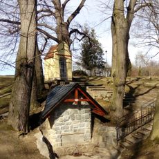
Studánka na Těšíně
1.9 km
Boží muka mezí Úsilným a Libničí
1.7 km
Koupaliště Borek
1.3 km
Mural, Work of art
1 kmReviews
Visited this place? Tap the stars to rate it and share your experience / photos with the community! Try now! You can cancel it anytime.
Discover hidden gems everywhere you go!
From secret cafés to breathtaking viewpoints, skip the crowded tourist spots and find places that match your style. Our app makes it easy with voice search, smart filtering, route optimization, and insider tips from travelers worldwide. Download now for the complete mobile experience.

A unique approach to discovering new places❞
— Le Figaro
All the places worth exploring❞
— France Info
A tailor-made excursion in just a few clicks❞
— 20 Minutes