
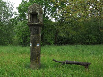
Boží muka, boží muka na území Kuří
Location: Kuří
Location: Benešov nad Černou
GPS coordinates: 48.72186,14.62457
Latest update: April 1, 2025 12:05
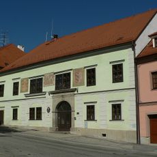
Town Hall
845 m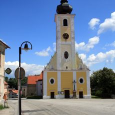
Church of Saint James the Greater
878 m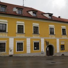
House Nr. 125 in Benešov nad Černou
828 m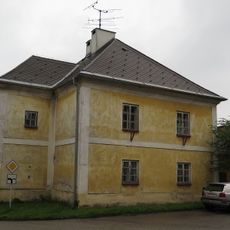
Fara
910 m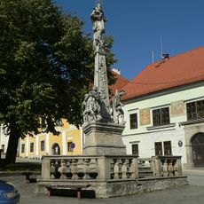
Pillar of the Plague
821 m
Vodní mlýn čp. 35
265 m
Dům čp. 90
780 m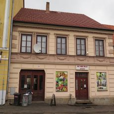
Dům čp. 130
867 m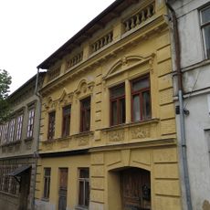
Dům čp. 75
850 m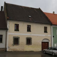
Dům čp. 122
829 m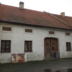
Dům čp. 94
769 m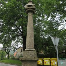
Boží muka
824 m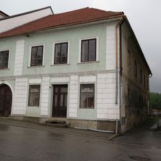
Dům čp. 128
860 m
Dům čp. 98
763 m
Kašna
777 m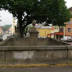
Kašna
847 m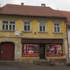
Dům čp. 136
912 m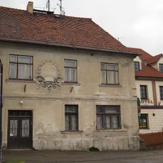
Dům čp. 132
878 m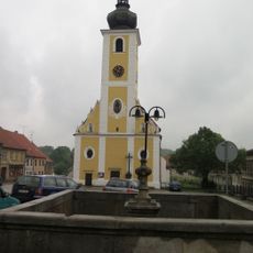
Lower Fountain
814 m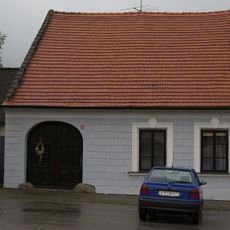
Usedlost čp. 120
817 m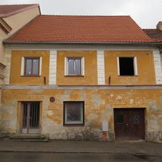
Dům čp. 131
872 m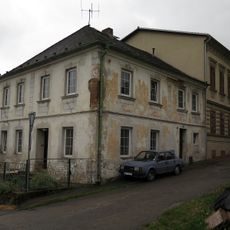
Dům čp. 72
852 m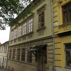
Dům čp. 74
854 m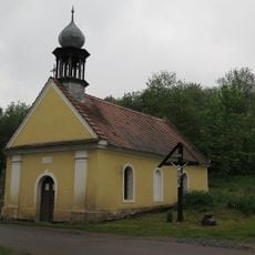
Chapel of the Good Shepherd
1.1 km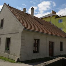
Dům čp. 99
765 m
Dům čp. 92
777 m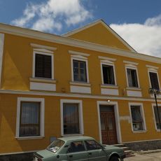
Dům čp. 93
787 m
Modřín opadavý
1.2 kmReviews
Visited this place? Tap the stars to rate it and share your experience / photos with the community! Try now! You can cancel it anytime.
Discover hidden gems everywhere you go!
From secret cafés to breathtaking viewpoints, skip the crowded tourist spots and find places that match your style. Our app makes it easy with voice search, smart filtering, route optimization, and insider tips from travelers worldwide. Download now for the complete mobile experience.

A unique approach to discovering new places❞
— Le Figaro
All the places worth exploring❞
— France Info
A tailor-made excursion in just a few clicks❞
— 20 Minutes