
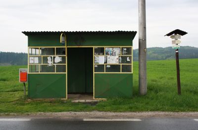
Rozcestník Krčma, turistický rozcestník v okrese Žďár nad Sázavou
Location: Krčma
Part of: Czech Hiking Markers System
GPS coordinates: 49.41924,16.21722
Latest update: March 14, 2025 07:05

Trenckova rokle
3.8 km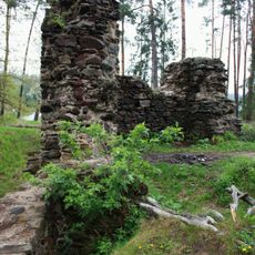
Mitrov (ruins)
1.3 km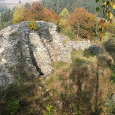
Lisek Castle
2.9 km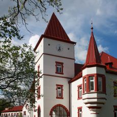
Mitrov
2.5 km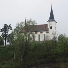
Church of Saints Simon and Jude
2.7 km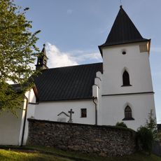
Church of Saint James the Greater (Bukov)
3.8 km
Stone bridge in Dolní Libochová
2.5 km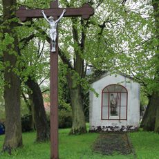
Chapel of Saint Florian (Strážek)
3 km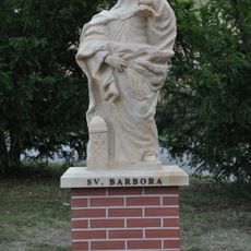
Socha svaté Barbory
3.3 km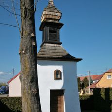
Zvonice
3.4 km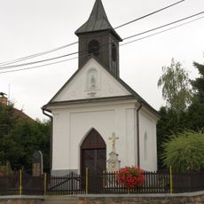
Chapel of Virgin Mary
2.6 km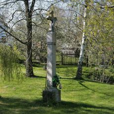
Boží muka
3.6 km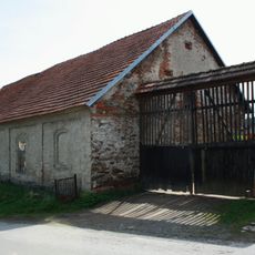
Dům čp. 18
3.8 km
Chapel of Virgin Mary
4.1 km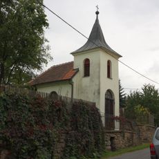
Chapel of the Virgin Mary of the Rosary
2.9 km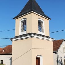
Chapel of Our Lady of Lourdes
4 km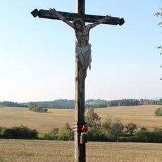
Krucifix
4.1 km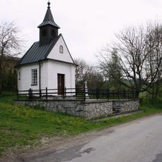
Chapel of Saints Cyril and Methodius
978 m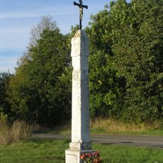
Boží muka
4.1 km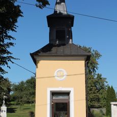
Chapel in Jemnice
3.7 km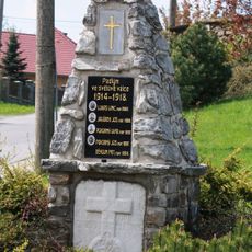
World War I memorial in Bukov
3.9 km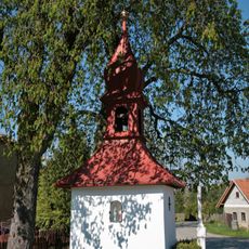
Kaplička
3.4 km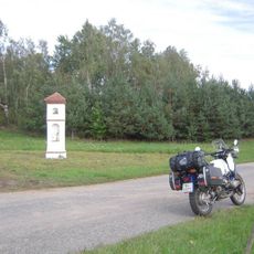
Kaplička u silnice do Moraveckých Janovic
2.1 km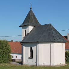
Chapel in Moravecké Janovice
2.2 km
Kříž Filipíny Krátkých u silnice jihozápadně od Nové Vsi
3.7 km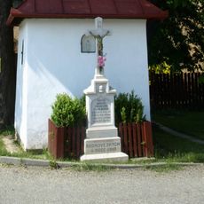
Kříž u kaple v Radňovsi
3.4 km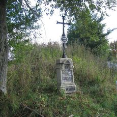
Pamětní kříž na okraji Strážku při silnici na Mitrov
2.3 km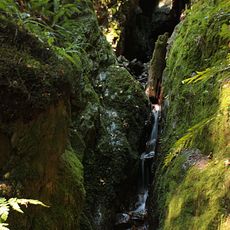
Trenckova rokle
3.8 kmReviews
Visited this place? Tap the stars to rate it and share your experience / photos with the community! Try now! You can cancel it anytime.
Discover hidden gems everywhere you go!
From secret cafés to breathtaking viewpoints, skip the crowded tourist spots and find places that match your style. Our app makes it easy with voice search, smart filtering, route optimization, and insider tips from travelers worldwide. Download now for the complete mobile experience.

A unique approach to discovering new places❞
— Le Figaro
All the places worth exploring❞
— France Info
A tailor-made excursion in just a few clicks❞
— 20 Minutes