
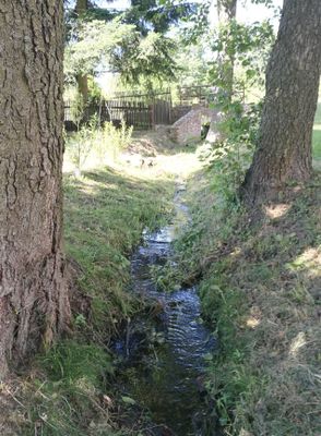
Řečický potok, potok v okrese Jindřichův Hradec
Location: Jindřichův Hradec District
GPS coordinates: 49.15016,15.35092
Latest update: October 29, 2025 18:35
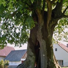
Praskoleská lípa
2.8 km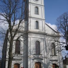
Horní kostel
1.5 km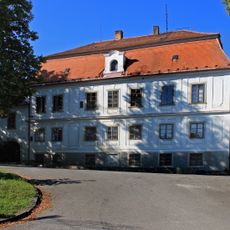
Řečice Castle
1.6 km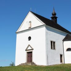
Church of Saint Joachim
3.7 km
Olšina u Volfířova (natural monument)
4.3 km
Expozice kamenictví v Mrákotině
4.8 km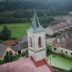
Dolní kostel
1.6 km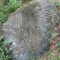
Category:Francouzský kámen (Brandlín)
3 km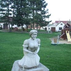
Hospodyňka
2.9 km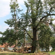
Lípa srdčitá v Praskolesích
2.9 km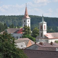
Evangelical churches in Velká Lhota
1.5 km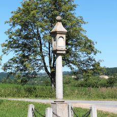
Column shrine west of Dobrá Voda
3.9 km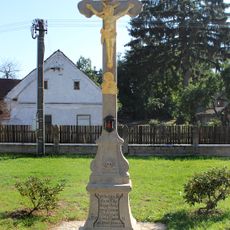
Kříž
1.9 km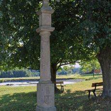
Boží muka
3.9 km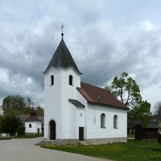
Chapel of the Assumption of the Virgin Mary
3.5 km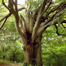
Marků buk u Sumrakova
3.8 km
Skrýchovský klen
4.1 km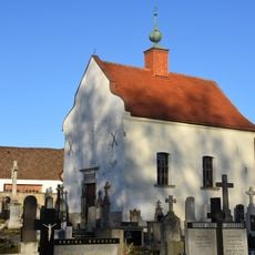
Chapel of Saint Francis of Assisi
4.5 km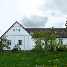
House No 23
3.3 km
Kaple v Mysleticích
2.9 km
Kříž ve Skrýchově
4.1 km
Kříž na návsi v Sumrakově
3.4 km
Kříž v Mysleticích
3 km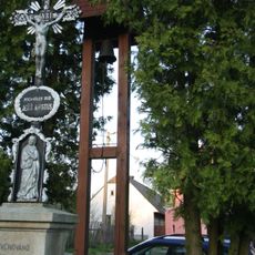
Zvonička ve Skrýchově
4.1 km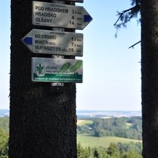
Rozcestník Bradlo
898 m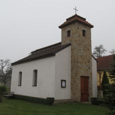
Chapel of Our Lady
3.6 km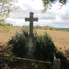
Kříž u Sumrakova V Planištích
4.5 km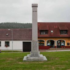
Pomník padlým v Mrákotíně
4.7 kmReviews
Visited this place? Tap the stars to rate it and share your experience / photos with the community! Try now! You can cancel it anytime.
Discover hidden gems everywhere you go!
From secret cafés to breathtaking viewpoints, skip the crowded tourist spots and find places that match your style. Our app makes it easy with voice search, smart filtering, route optimization, and insider tips from travelers worldwide. Download now for the complete mobile experience.

A unique approach to discovering new places❞
— Le Figaro
All the places worth exploring❞
— France Info
A tailor-made excursion in just a few clicks❞
— 20 Minutes