
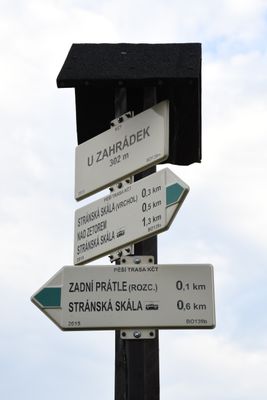
Rozcestník U Zahrádek, turistický rozcestník v Brně
Location: Brno-Slatina
Elevation above the sea: 302 m
Part of: Czech Hiking Markers System
GPS coordinates: 49.18951,16.67873
Latest update: March 17, 2025 12:02
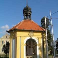
Bell tower in Brno-Slatina
1.5 km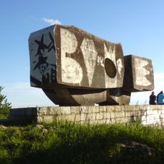
Monument of working-class movement
1.5 km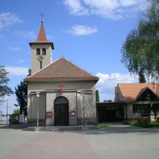
Church of the Exaltation of the Holy Cross
1.7 km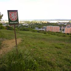
Bílá hora
1.3 km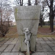
Josefa Faimonová memorial
1.6 km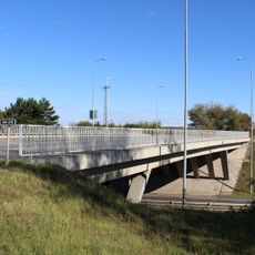
Most komunikace Holzova - Bedřichovická přes ulici Ostravskou
1.1 km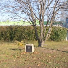
Pomník Václava Podmela ve Slatině
1.6 km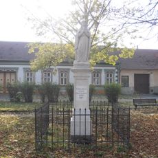
Socha Panny Marie
1.4 km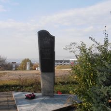
Red Army Memorial, Brno-Slatina
968 m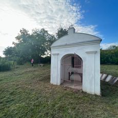
Kaplička
621 m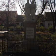
Sousoší svatých Cyrila a Metoděje
1.4 km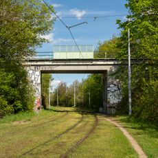
Bridge of Zetor siding over tram track
1.2 km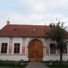
Venkovský dům čp. 763
1.7 km
Plaque of Viliam Debnár, Jedovnická, Brno
1.7 km
Památné stromořadí Líšeňská
1.4 km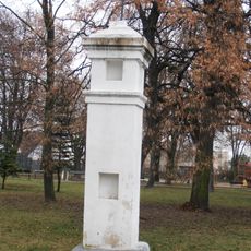
Boží muka
1.5 km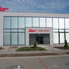
Zetor Gallery
1.2 km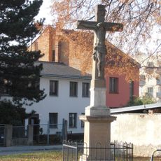
Wayside cross
1.3 km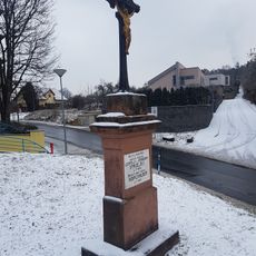
Wayside cross
1.6 km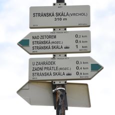
Rozcestník Stránská skála - vrchol
240 m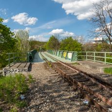
Bridge of Zetor siding over Ostravská street
1.2 km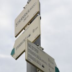
Rozcestník Stránská - rozc.
572 m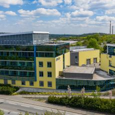
Budova Centra dopravního výzkumu
1.5 km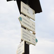
Rozcestník Nad Zetorem
398 m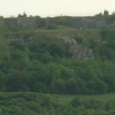
Stránská skála
283 m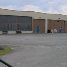
Transport museum in Líšeň
1.7 km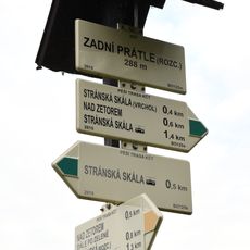
Rozcestník Zadní Prátle - rozc.
94 m
Plastika mezi ulicemi Souběžná a Krásného v Juliánově
1.7 kmReviews
Visited this place? Tap the stars to rate it and share your experience / photos with the community! Try now! You can cancel it anytime.
Discover hidden gems everywhere you go!
From secret cafés to breathtaking viewpoints, skip the crowded tourist spots and find places that match your style. Our app makes it easy with voice search, smart filtering, route optimization, and insider tips from travelers worldwide. Download now for the complete mobile experience.

A unique approach to discovering new places❞
— Le Figaro
All the places worth exploring❞
— France Info
A tailor-made excursion in just a few clicks❞
— 20 Minutes