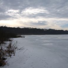
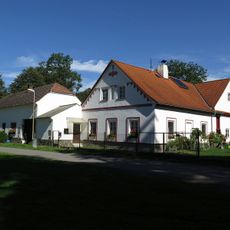
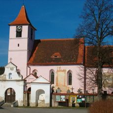
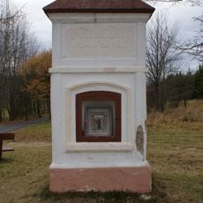
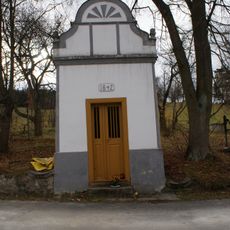
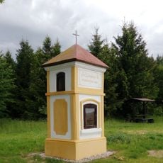
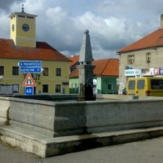
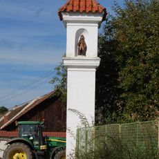
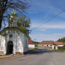
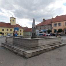
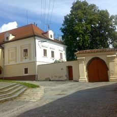
Водняны, správní obvod v okrese Strakonice
Location: Strakonice District
Inception: January 1, 2003
Capital city: Vodňany
GPS coordinates: 49.15000,14.10000
Latest update: April 2, 2025 05:40
Haniperk
3.2 km
Church of the Assumption
3.5 km
Skočický hrad
2.2 km
Bavorská stráň
3.3 km
Jewish cemetery in Vodňany
2.8 km
Záhorský rybník
1.6 km
Ducháčův mlýn
3.1 km
Church of Saint James the Greater
3.1 km
Chapel of Saint Mary Magdalene
2.3 km
Pomník obětem náletu
2.4 km
Bridge of road II/141 over the Bílský potok in Svinětice
1 km
Chapel of the Holy Trinity
3 km
Zeyerův dub
1.8 km
Bavorov Castle
3.5 km
Chapel of Virgin Mary
2.7 km
Chapel of Saint Leonard
3 km
Kašna
3.5 km
Boží muka
3.1 km
Wayside cross
3.1 km
Chapel of Saint Wenceslaus
2.2 km
Wayside cross
3 km
Kašna na náměstí v Bavorově
3.5 km
Rectory in Bavorov
3.5 km
Wayside cross
3.2 km
Boží muka svatého Václava jižně od Skočic pod Skočickým hradem
3.1 km
Heritesův dub
2.1 km
Hradiště Hrad
2.2 km
Kašna na zámku v Bavorově
3.5 kmReviews
Visited this place? Tap the stars to rate it and share your experience / photos with the community! Try now! You can cancel it anytime.
Discover hidden gems everywhere you go!
From secret cafés to breathtaking viewpoints, skip the crowded tourist spots and find places that match your style. Our app makes it easy with voice search, smart filtering, route optimization, and insider tips from travelers worldwide. Download now for the complete mobile experience.
A unique approach to discovering new places❞
— Le Figaro
All the places worth exploring❞
— France Info
A tailor-made excursion in just a few clicks❞
— 20 Minutes