
Otakarka, Bašta v Českých Budějovicích
Location: České Budějovice
Part of: City walls of České Budějovice
GPS coordinates: 48.97360,14.47220
Latest update: March 2, 2025 22:30

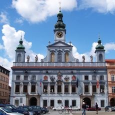
Town hall in České Budějovice
103 m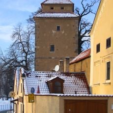
Železná panna
81 m
Solní branka
60 m
Biskupská zahrada
17 m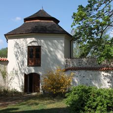
Gloriet
22 m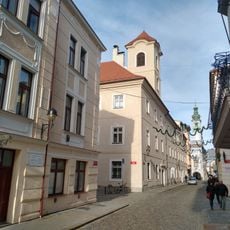
Bishop residence of České Budějovice
63 m
Hranatá bašta
73 m
Široká 37
50 m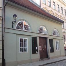
Studio dell'arte
75 m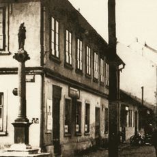
Maria column
38 m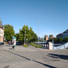
Zátkovo nábř.
30 m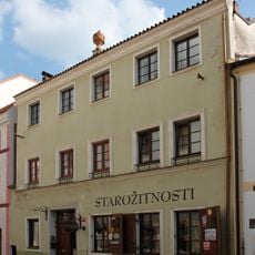
Široká 35
51 m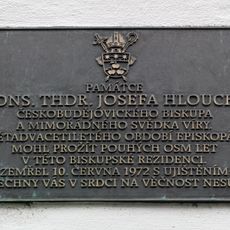
Commemorative plaque of Josef Hlouch
64 m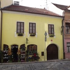
Biskupská 10
84 m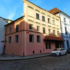
Radniční 2
75 m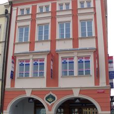
Stará pošta
92 m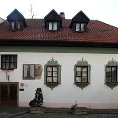
Široká 39
30 m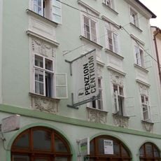
Biskupská 3
83 m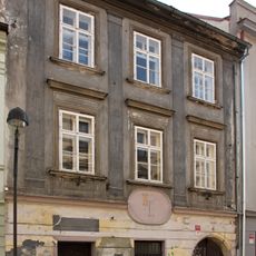
Široká 29
98 m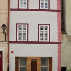
Široká 33
57 m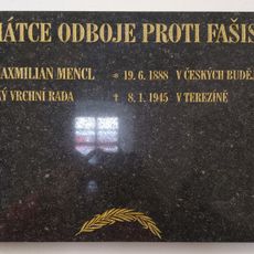
Pamětní deska Maxmilana Mencla
95 m
Biskupská 12
88 m
Dům ČEDOK
107 m
Radniční 5
55 m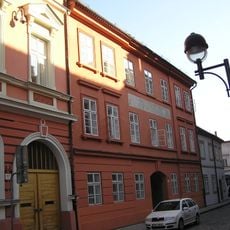
Česká 57
98 m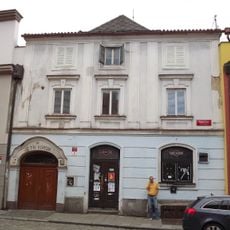
Radniční 9
49 m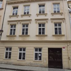
Radniční 3
55 m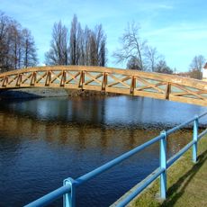
Footbridge over the Malše river
72 mReviews
Visited this place? Tap the stars to rate it and share your experience / photos with the community! Try now! You can cancel it anytime.
Discover hidden gems everywhere you go!
From secret cafés to breathtaking viewpoints, skip the crowded tourist spots and find places that match your style. Our app makes it easy with voice search, smart filtering, route optimization, and insider tips from travelers worldwide. Download now for the complete mobile experience.

A unique approach to discovering new places❞
— Le Figaro
All the places worth exploring❞
— France Info
A tailor-made excursion in just a few clicks❞
— 20 Minutes