
Mountain Rescue Service station in Černý Důl, building in Trutnov District
Location: Černý Důl
Part of: Mountain Rescue Service of the Czech Republic
Address: Černý Důl 272, 543 44 Černý Důl
GPS coordinates: 50.63654,15.70712
Latest update: March 15, 2025 23:55

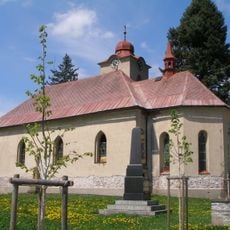
Church of Saint Michael
377 m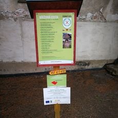
Stations of the cross in Černý Důl
378 m
Hotel Pošta
263 m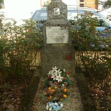
Hrob rudoarmějce
225 m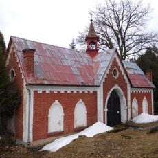
Cemetery chapel in Černý Důl
418 m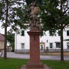
Socha Archanděla Michaela
289 m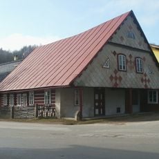
Venkovský dům
313 m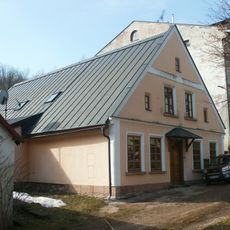
Venkovský dům
236 m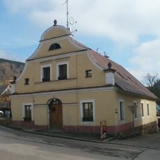
Městský dům
309 m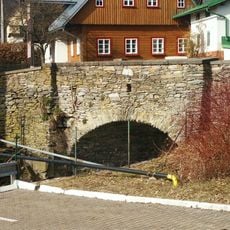
Stone bridge in Černý Důl
370 m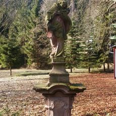
Sloup se sochou svatého Jana Nepomuckého
747 m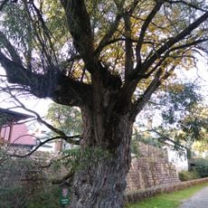
Vrba v Černém Dole
357 m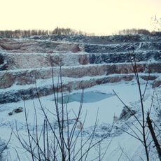
Limestone quarry in Černý Důl
308 m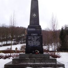
World War I memorial in Černý Důl
400 m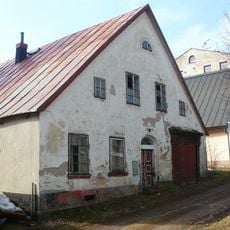
Venkovský dům
245 m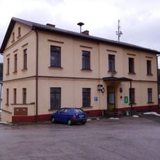
Černý Důl municipal office
367 m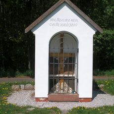
Chapel of the Holy Cross
922 m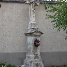
Cross in Černý Důl
356 m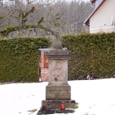
Crucifix in Černý Důl
453 m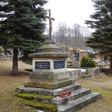
Cross at Černý Důl cemetery
440 m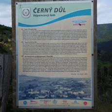
Naučná stezka Okolo lomu
264 m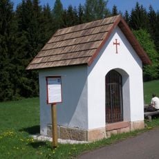
Chapel of Saint Michael
1 km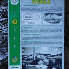
Vápenická stezka
177 m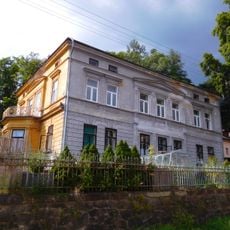
Villa of Josef Menčík
312 m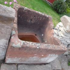
Fountain in Černý Důl
363 m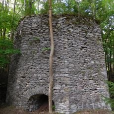
Lime kiln in Černý Důl
184 m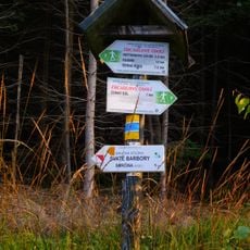
Naučná stezka Svaté Barbory
273 m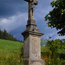
Wayside cross above Černý Důl
1.2 kmReviews
Visited this place? Tap the stars to rate it and share your experience / photos with the community! Try now! You can cancel it anytime.
Discover hidden gems everywhere you go!
From secret cafés to breathtaking viewpoints, skip the crowded tourist spots and find places that match your style. Our app makes it easy with voice search, smart filtering, route optimization, and insider tips from travelers worldwide. Download now for the complete mobile experience.

A unique approach to discovering new places❞
— Le Figaro
All the places worth exploring❞
— France Info
A tailor-made excursion in just a few clicks❞
— 20 Minutes