
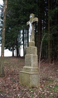
Wayside cross, small religious monument between Klažary and Kondrač, České Budějovice District, South Bohemia, Czechia, České Budějovice District, South Bohemia, Czechia
Location: Kamenná
Inception: January 1, 1870
GPS coordinates: 48.79252,14.65728
Latest update: November 1, 2025 14:03
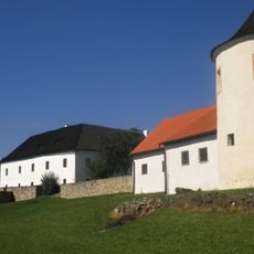
Žumberk Fortress
1.8 km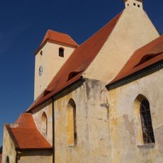
Church of the Beheading of Saint John the Baptist
1.9 km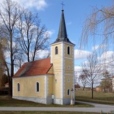
Church of Holy Trinity
1.3 km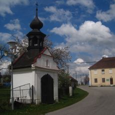
Chapel
1.6 km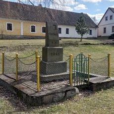
Pomník osídlení 1945
1.3 km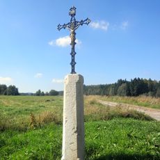
Column shrine at the way to Kondrač (Kamenná)
1.4 km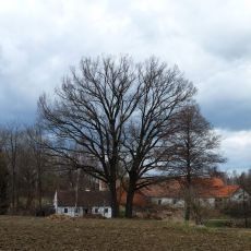
Klažarské duby letní
1.2 km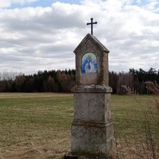
Column shrine
658 m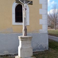
Wayside cross
1.3 km
Dub u Kahounů rybníka
73 m
Kříž severně od vsi
1.3 km
Usedlost čp. 15
1.8 km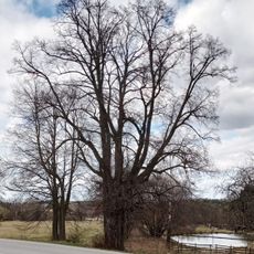
Kondračská lípa
945 m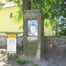
Sloup u kostela v Žumberku
1.9 km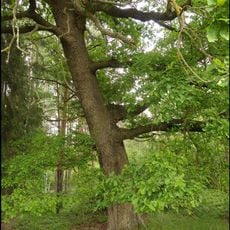
Klažarský šikmý dub
1.7 km
Kříž na jižním okraji vsi
1.8 km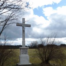
Kříž na východním okraji vsi
1.1 km
Kašna na nádvoří tvrze v Žumberku
1.8 km
Kaplička u silnice na Klažary
1.2 km
Kaplička u Kondrače
1.1 km
Scenic viewpoint
1.8 km
Installation artwork, Work of art
1.8 km
Panna
1.8 km
Installation artwork, Work of art
1.8 km
Michael Matura
1.1 km
Work of art, installation artwork
1.9 km
Mission Krout 1877
1.9 km
Installation artwork, Work of art
1.9 kmReviews
Visited this place? Tap the stars to rate it and share your experience / photos with the community! Try now! You can cancel it anytime.
Discover hidden gems everywhere you go!
From secret cafés to breathtaking viewpoints, skip the crowded tourist spots and find places that match your style. Our app makes it easy with voice search, smart filtering, route optimization, and insider tips from travelers worldwide. Download now for the complete mobile experience.

A unique approach to discovering new places❞
— Le Figaro
All the places worth exploring❞
— France Info
A tailor-made excursion in just a few clicks❞
— 20 Minutes