
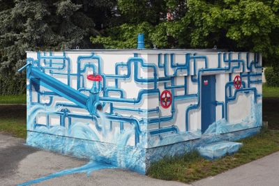
Vodohospodářský objekt u Voříškova dvora, building in the Czech Republic
Location: České Budějovice 3
GPS coordinates: 48.99039,14.46175
Latest update: September 19, 2025 22:27
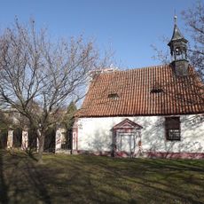
Church of the Holy Trinity
833 m
Blue Bower
1 km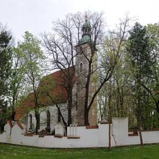
Church of Saint John the Baptist and Saint Procopius
790 m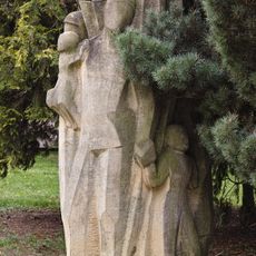
Statue of parents with children
692 m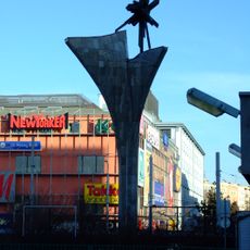
Památník Pařížské komuny
1 km
Boží muka
924 m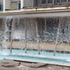
Vltava fountain
501 m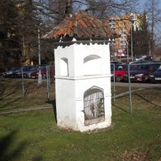
Boží muka
800 m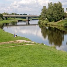
Nový most
323 m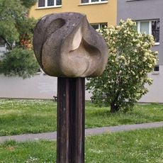
Pochodeň
933 m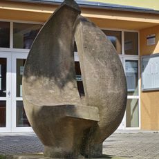
Kompozice
510 m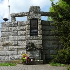
Mohyla U Parku
1.1 km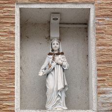
Panna Maria Kondíková
1.1 km
Mosaic on Juvel
423 m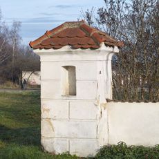
Kaple u Voříškova dvora
275 m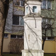
Column shrine, Vltava
1 km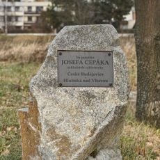
Memorial stone of Josef Cepák
129 m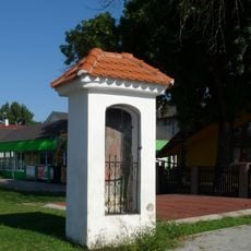
Kaplička
1.1 km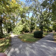
Staroměstský park
847 m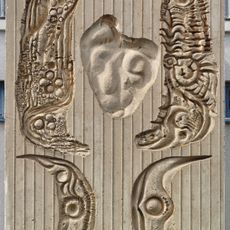
Reliéf na domě s pečovatelskou službou
237 m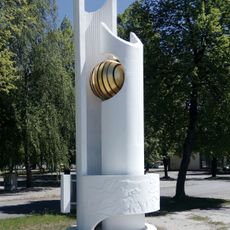
Zvířena
732 m
Špitálek
818 m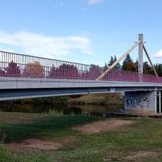
Footbridge Plzeňská
51 m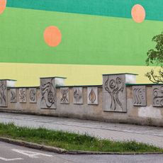
Dekorativní betonová zídka
982 m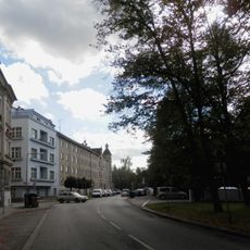
Jiráskovo nábř.
954 m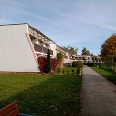
Dům s pečovatelskou službou
278 m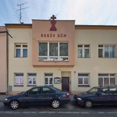
Husův dům
1.1 km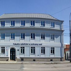
Husova třída 102
841 mVisited this place? Tap the stars to rate it and share your experience / photos with the community! Try now! You can cancel it anytime.
Discover hidden gems everywhere you go!
From secret cafés to breathtaking viewpoints, skip the crowded tourist spots and find places that match your style. Our app makes it easy with voice search, smart filtering, route optimization, and insider tips from travelers worldwide. Download now for the complete mobile experience.

A unique approach to discovering new places❞
— Le Figaro
All the places worth exploring❞
— France Info
A tailor-made excursion in just a few clicks❞
— 20 Minutes