
Wayside cross in the west of Brloh, religious monument dated 1868 in the west of the municipality of Brloh, Český Krumlov District, South Bohemian Region, Czechia
Location: Brloh
Inception: 1868
GPS coordinates: 48.93057,14.21534
Latest update: March 31, 2025 11:25

Brložsko
394 m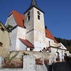
Church of Saints Simon and Jude
467 m
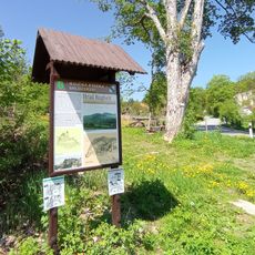
Na Stráži
1 km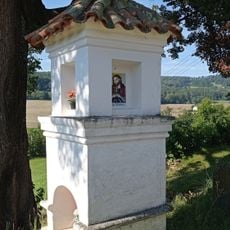
Shrine of the Virgin Mary of Kájov in Sedm Chalup
1.7 km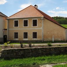
Usedlost čp. 42
375 m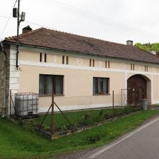
Usedlost čp. 11
265 m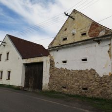
Usedlost čp. 12
276 m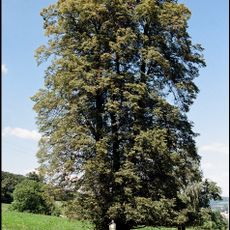
Baisova lípa
1.6 km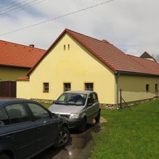
Usedlost čp. 10
248 m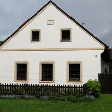
Usedlost čp. 7
203 m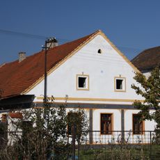
Usedlost čp. 5
157 m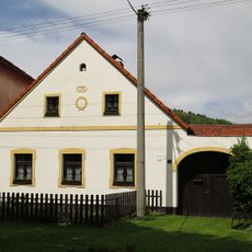
Usedlost čp. 85
182 m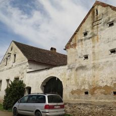
Usedlost čp. 16
339 m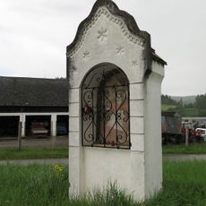
Kaplička svatého Vojtěcha
421 m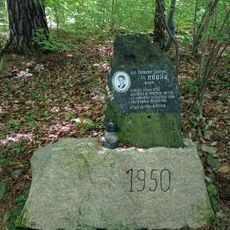
1950 memorial in Brloh
2.3 km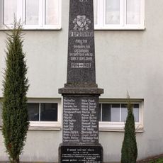
World wars victims' memorial
388 m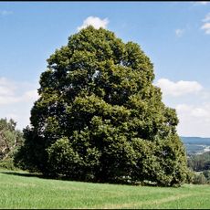
Lípa srdčitá
1.4 km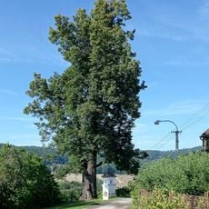
Lípa srdčitá Sedm Chalup
1.7 km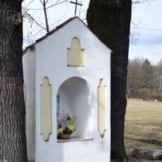
Niche chapel in Kuklov
2.4 km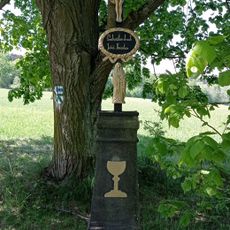
Wayside cross at Brloh - Špatenka
2.3 km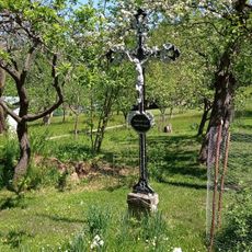
Wayside cross at No. 24 Brloh - Sedm Chalup
1.1 km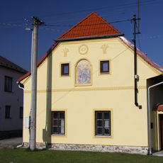
Venkovská usedlost, Brloh č.p. 9
227 m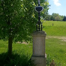
Wayside cross near the cemetery in Brloh
797 m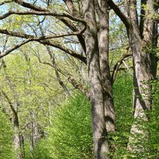
Oak tree avenue in Brloh
1.9 km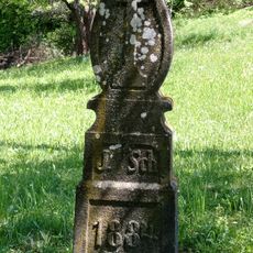
Wayside cross at No. 1 Brloh - Sedm Chalup
1 km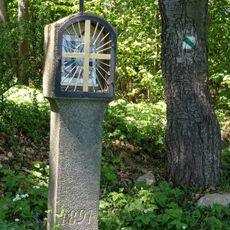
Column shrine with a lantern in Brloh
987 m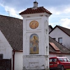
Column shrine in Brloh
582 m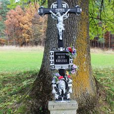
Wayside cross in Brloh
430 mReviews
Visited this place? Tap the stars to rate it and share your experience / photos with the community! Try now! You can cancel it anytime.
Discover hidden gems everywhere you go!
From secret cafés to breathtaking viewpoints, skip the crowded tourist spots and find places that match your style. Our app makes it easy with voice search, smart filtering, route optimization, and insider tips from travelers worldwide. Download now for the complete mobile experience.

A unique approach to discovering new places❞
— Le Figaro
All the places worth exploring❞
— France Info
A tailor-made excursion in just a few clicks❞
— 20 Minutes