
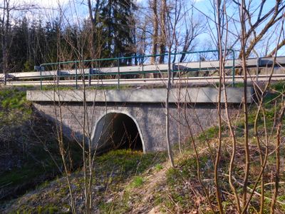
Bridge of I/14 near Kovársko, bridge in Čistá v Krkonoších
Location: Čistá v Krkonoších
GPS coordinates: 50.61194,15.69203
Latest update: September 23, 2025 16:46
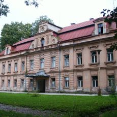
Fořt Castle
1.6 km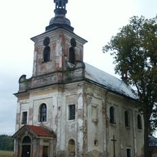
Church of Holy Trinity
1.2 km
Bridge over Malé Labe in Dolní Lánov (near no. 180)
2.4 km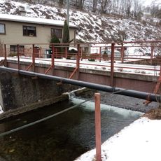
Bridge over Malé Labe in Dolní Lánov (near no. 192)
2.4 km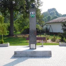
Liberation memorial in Dolní Lánov
2.3 km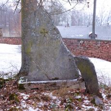
World War I Memorial in Dolní Lánov
2.5 km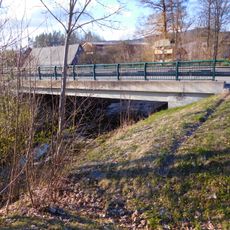
Bridge of I/14 road over the Čistá in Čistá
1.1 km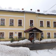
School building in Čistá
1.2 km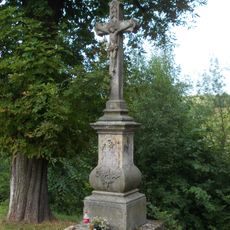
Wayside cross
2.5 km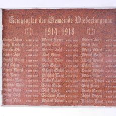
Plaques to World War I victims in Dolní Lánov
2.5 km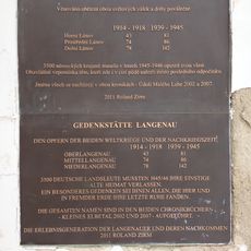
Plaque to victims of World Wars I and II and post-war events in Dolní Lánov
2.5 km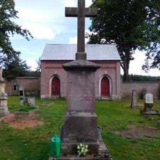
Cross at cemetery in Fořt
1.3 km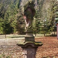
Sloup se sochou svatého Jana Nepomuckého
2.5 km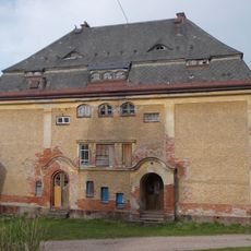
Former rectory
2.5 km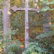
Cross near Fořt
2.3 km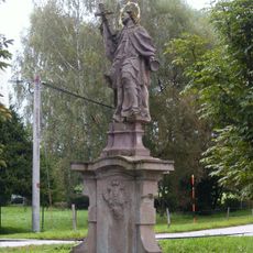
Sloup se sochou svatého Jana Nepomuckého
1.5 km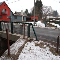
Bridge over Končinský potok in Dolní Lánov
2.4 km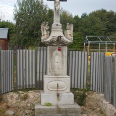
Wayside cross in Dolní Lánov
2.4 km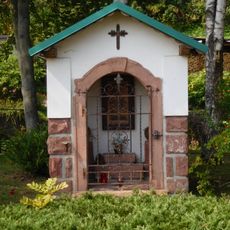
Chapel-shrine in Dolní Lánov (1801)
2.4 km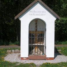
Chapel of the Holy Cross
2.4 km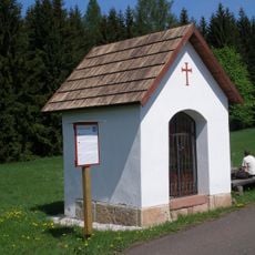
Chapel of Saint Michael
2.3 km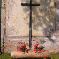
Wooden cross in Fořt
1.2 km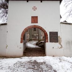
Main gate of Dolní Lánov cemetery
2.5 km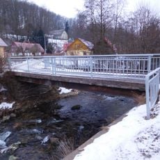
Bridge over Malé Labe in Dolní Lánov (near no. 107)
2.4 km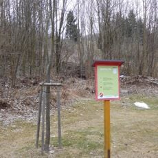
Memorable linden tree in Čistá
1.7 km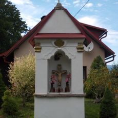
Chapel-shrine in Dolní Lánov
2.4 km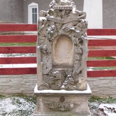
Cross in Lánov
2.4 km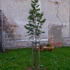
Republic Tilia in Fořt
1.2 kmReviews
Visited this place? Tap the stars to rate it and share your experience / photos with the community! Try now! You can cancel it anytime.
Discover hidden gems everywhere you go!
From secret cafés to breathtaking viewpoints, skip the crowded tourist spots and find places that match your style. Our app makes it easy with voice search, smart filtering, route optimization, and insider tips from travelers worldwide. Download now for the complete mobile experience.

A unique approach to discovering new places❞
— Le Figaro
All the places worth exploring❞
— France Info
A tailor-made excursion in just a few clicks❞
— 20 Minutes