
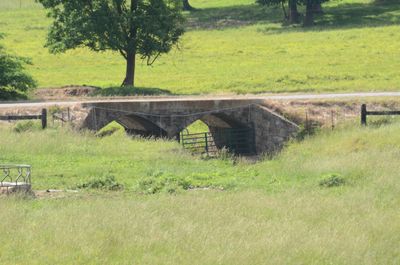
Cedar Creek Bridge, Works Progress Administration built bridge in Rosie, Arkansas
Location: Rosie
Inception: 1941
Made from material: stone, reinforced concrete
GPS coordinates: 35.64278,-91.54056
Latest update: March 5, 2025 16:57
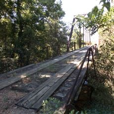
Big Bottom Slough Bridge
6.6 km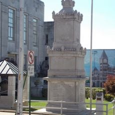
Batesville Confederate Monument
17.4 km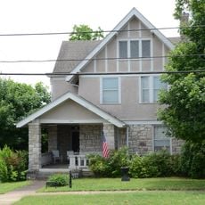
Adler House
17.2 km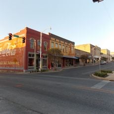
Batesville Commercial Historic District
17.5 km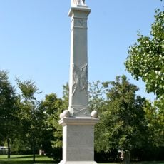
Jackson Guards Memorial
20.7 km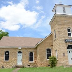
Bethel African Methodist Episcopal Church
16.9 km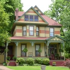
Charles R. Handford House
17.2 km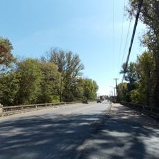
Central Avenue Bridge
17.7 km
Glenn House
17.6 km
Moorefield School
14 km
Dondy Building
17.4 km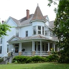
Batesville East Main Historic District
18.1 km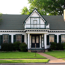
Garrott House
17.5 km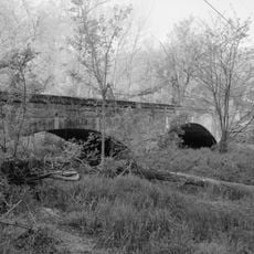
Miller Creek Bridge
18.8 km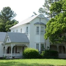
Dearing House
11.3 km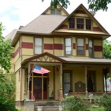
James S. Handford House
17.3 km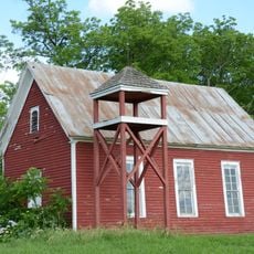
Hulsey Bend School
11.1 km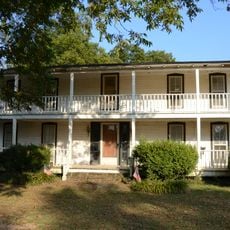
Morris House
19.3 km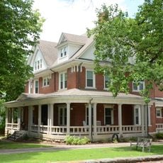
Cook-Morrow House
17.5 km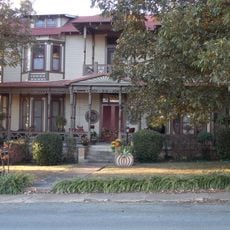
Wycough-Jones House
17.6 km
Thida Grove School
10.4 km
Wyatt House
16.1 km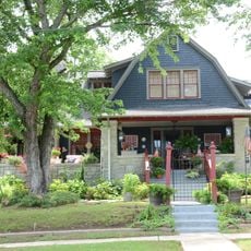
Mitchell House
17.5 km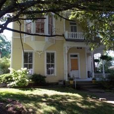
Bartlett-Kirk House
17.3 km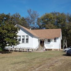
Jamestown School
15.9 km
School Addition Historic District
17.6 km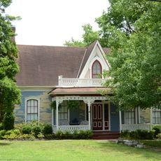
Edward Dickinson House
17.2 km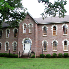
Morrow Hall
17.2 kmReviews
Visited this place? Tap the stars to rate it and share your experience / photos with the community! Try now! You can cancel it anytime.
Discover hidden gems everywhere you go!
From secret cafés to breathtaking viewpoints, skip the crowded tourist spots and find places that match your style. Our app makes it easy with voice search, smart filtering, route optimization, and insider tips from travelers worldwide. Download now for the complete mobile experience.

A unique approach to discovering new places❞
— Le Figaro
All the places worth exploring❞
— France Info
A tailor-made excursion in just a few clicks❞
— 20 Minutes