
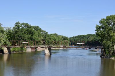
Oakland Mills Bridge
Oakland Mills Bridge, United States historic place
Location: Tippecanoe Township
Architects: Missouri Valley Bridge & Iron Co.
GPS coordinates: 40.93556,-91.61697
Latest update: November 28, 2025 14:29
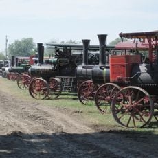
Old Thresher's Reunion
6.2 km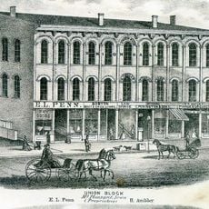
Union Block
6.3 km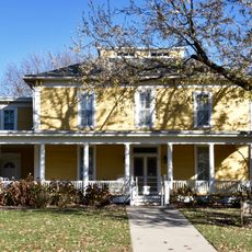
Harlan-Lincoln House
7 km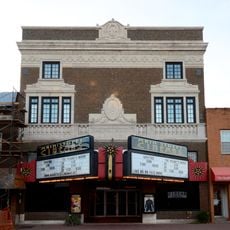
Masonic Temple Theater
6.4 km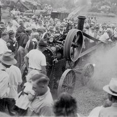
Midwest Old Threshers Heritage Museums & Business Office
6.1 km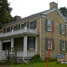
Henderson Lewelling House
9.4 km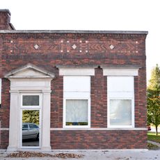
Farmers Savings Bank
9 km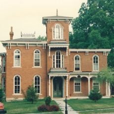
Henry Ambler House
6.5 km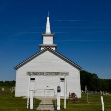
Benjamin Chapel and Richwoods Cemetery
10.2 km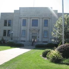
Henry County Courthouse
6.3 km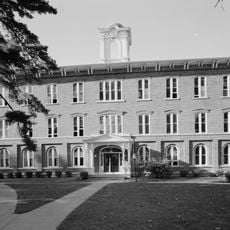
Old Main
7.6 km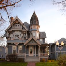
Dr. J.O. and Catherine Ball House
6.5 km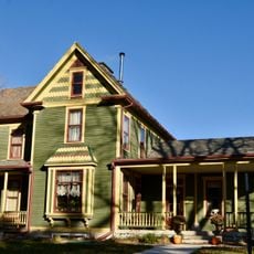
Owen A. and Emma J. Garretson House
10.4 km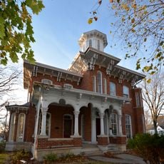
Brazelton House
6.6 km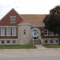
Former Mount Pleasant Public Library
6.5 km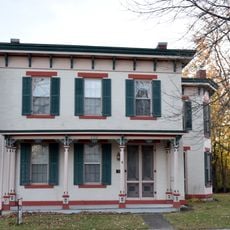
George and Margaret Cooper House
6.1 km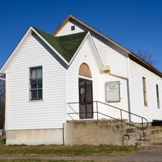
Second Baptist Church
6.3 km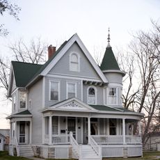
G. W. S. Allen House
6.7 km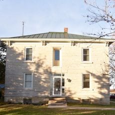
Joseph A. and Lydia A. Edwards House
10.4 km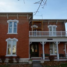
Isaac and Agnes
9.2 km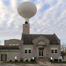
Mount Pleasant City Hall
6.2 km
Camp Harlan-Camp McKean Historic District
5.9 km
Paton and Hannah Wilson House
4.5 km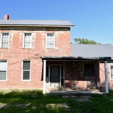
Collins-Bond House
9.4 km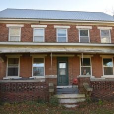
Lamm-Pollmiller Farmstead District
12.8 km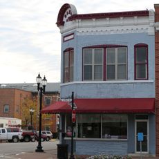
Henry County Savings Bank
6.4 km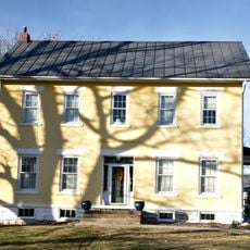
Cook-Johnson House
8.6 km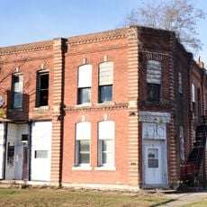
Bicksler Block
9 kmReviews
Visited this place? Tap the stars to rate it and share your experience / photos with the community! Try now! You can cancel it anytime.
Discover hidden gems everywhere you go!
From secret cafés to breathtaking viewpoints, skip the crowded tourist spots and find places that match your style. Our app makes it easy with voice search, smart filtering, route optimization, and insider tips from travelers worldwide. Download now for the complete mobile experience.

A unique approach to discovering new places❞
— Le Figaro
All the places worth exploring❞
— France Info
A tailor-made excursion in just a few clicks❞
— 20 Minutes