
Arevis, village in Syunik Province of Armenia
Location: Syunik Province
Elevation above the sea: 1,900 m
Shares border with: Tasik
GPS coordinates: 39.40500,45.90111
Latest update: March 6, 2025 05:16
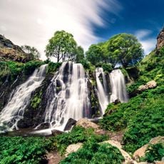
Shaki Waterfall
18.2 km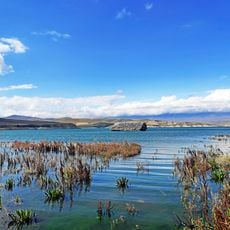
Tolors reservoir
13.7 km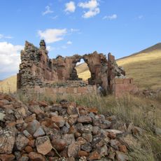
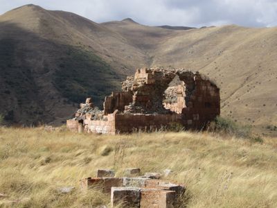
Tanahat church of Arevis
2.4 km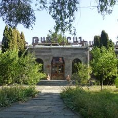
Sisian History Museum after Nikoghayos Adonts
17 km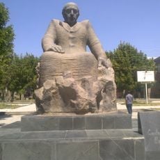
Monument to Hamo Sahyan
16.8 km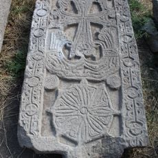
13 c khatchkar in Saint Vardan
18.9 km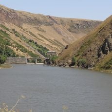
Angeghakot Reservoir
16.9 km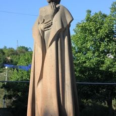
Nikoghayos Adonts statue
17 km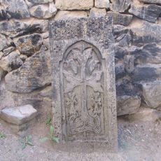
Khotsadegh khatchkar in Saint Vardan
18.9 km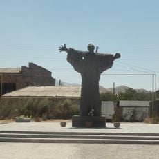
Vurg Voskanyan Monument
16.9 km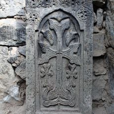
Amirshat khatchkar in Saint Vardan
18.9 km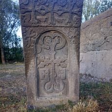
Խաչքար Նավռուզի
18.6 km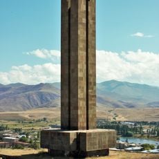
World War II memorial in Sisian
17.4 km
Saint Vardan in Angeghakot
18.6 km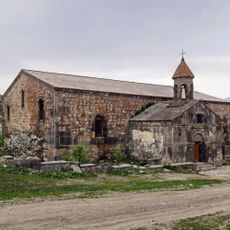
Saint Grigor of Brnakot
11.9 km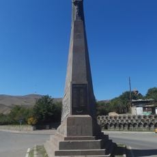
Monument to the victims of the Sovietisation of Armenia, Sisian
16.9 km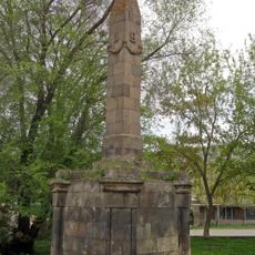
World war fountain in Brnakot
12 km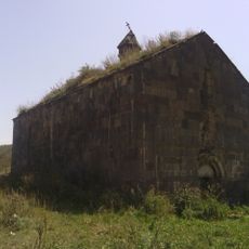
Shaghat Saint Gevorg church
17.2 km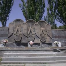
Nagorno-Karabakh War memorial, Sisian
17 km
Gravestone 9.6/32.19 in Qaradaran
17 km
House of Culture in Sisian
16.9 km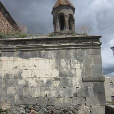
Գավիթ
11.9 km
1056 khatchkar in Sisian
17.4 km
1549 khatchkar in Qaradaran
17 km
Khumar khatchkar
17 km
Gravestone 9.6/32.18 in Qaradaran
17 km
Shaghat oil
17.2 km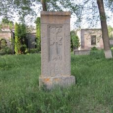
Todos khatchkar
17 kmVisited this place? Tap the stars to rate it and share your experience / photos with the community! Try now! You can cancel it anytime.
Discover hidden gems everywhere you go!
From secret cafés to breathtaking viewpoints, skip the crowded tourist spots and find places that match your style. Our app makes it easy with voice search, smart filtering, route optimization, and insider tips from travelers worldwide. Download now for the complete mobile experience.

A unique approach to discovering new places❞
— Le Figaro
All the places worth exploring❞
— France Info
A tailor-made excursion in just a few clicks❞
— 20 Minutes