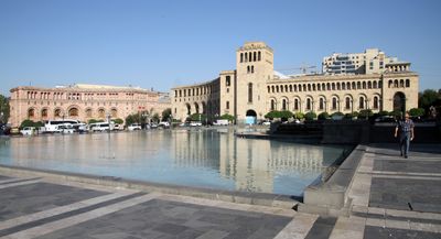
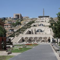
Armenia, Country in South Caucasus between Turkey, Georgia, Azerbaijan and Iran
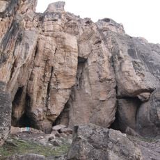
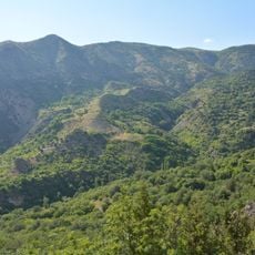
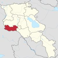
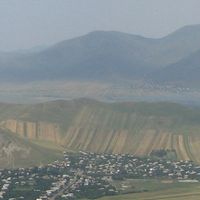
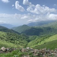
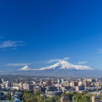
Armenia is a landlocked country in the South Caucasus between Turkey, Georgia, Azerbaijan, and Iran covering 29,743 square kilometers. The territory consists of three tectonic plateaus cut by deep river valleys, with average heights between 1,000 and 2,000 meters above sea level.
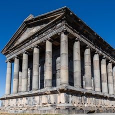
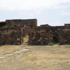
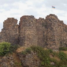
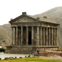
The Kingdom of Urartu controlled the region from the 9th to the 6th century before Christ, before Persian, Roman, and Byzantine empires alternately ruled. The modern republic emerged in 1991 after the Soviet Union collapsed.
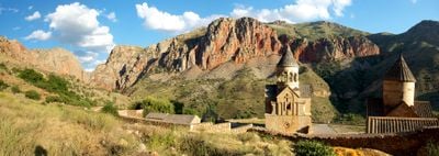
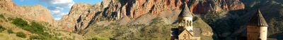
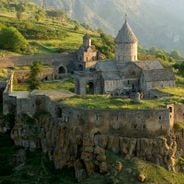
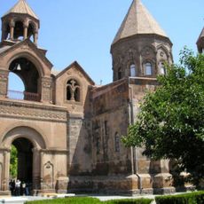
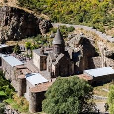
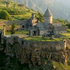
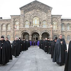
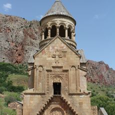
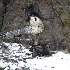
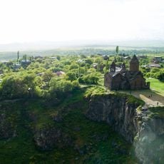
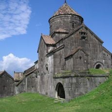
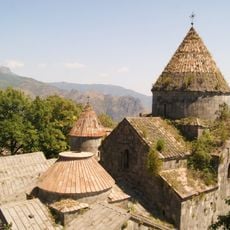
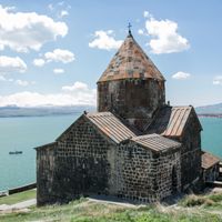
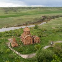
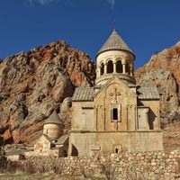
The Armenian Apostolic Church is the first Christian state church in the world after the country adopted Christianity in 301. This religious tradition shapes how people see themselves today and appears in monasteries and stone crosses throughout the land.
The best time to visit runs from May through October when temperatures stay comfortable and most mountain roads remain passable. Public transport connects cities and larger towns across the country.
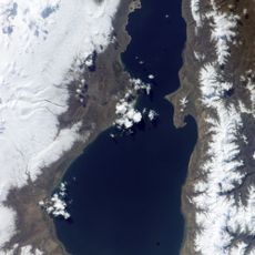
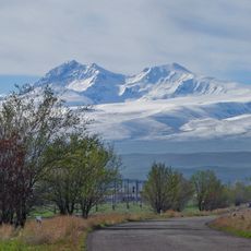
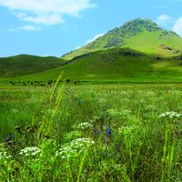
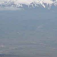
Mount Aragats reaches 4,090 meters (13,419 feet) as the highest point in the country and is an extinct volcano with four summits surrounding a crater lake. Hikers use different routes leading to each summit depending on difficulty level.
The community of curious travelers
AroundUs brings together thousands of curated places, local tips, and hidden gems, enriched daily by 60,000 contributors worldwide.