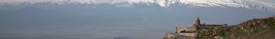
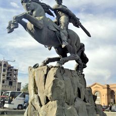
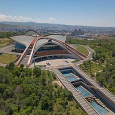
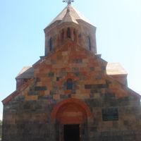
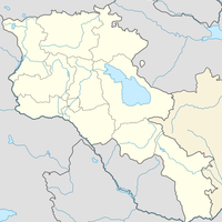
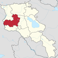
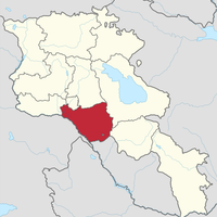
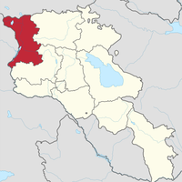
Ararat Province, Province in southern Armenia.
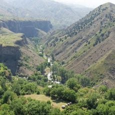
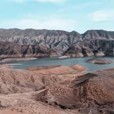
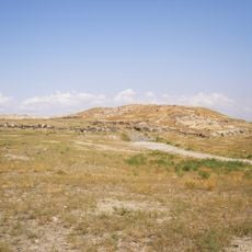
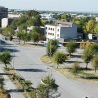
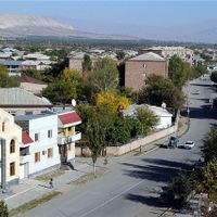
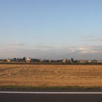
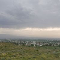
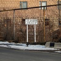
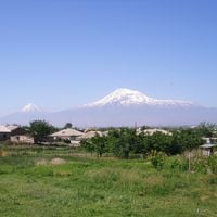
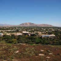
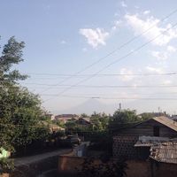
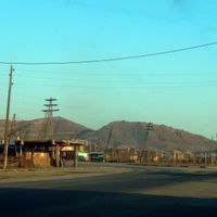
Ararat Province lies in southern Armenia between Mount Ararat and the Araks River, covering roughly 2,090 square kilometers. The territory combines flat farming land with mountainous regions and is organized around four major towns – Artashat, Ararat, Masis, and Vedi.
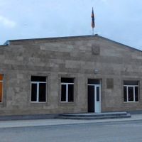
The province took its present shape in 1995 through an administrative reform that merged the districts of Ararat, Artashat, and Masis. This reorganization followed Armenia's independence and established the region's modern governance structure.
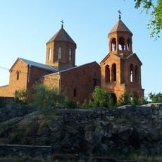
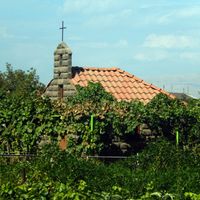
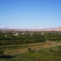
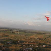
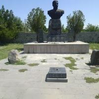
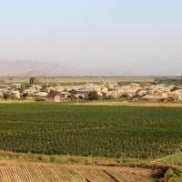
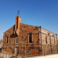
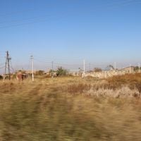
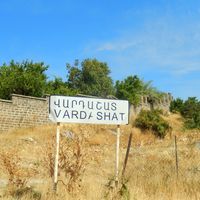
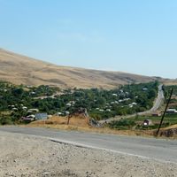
The region has long been a center of farming, where people grow grapes and fruit trees in the fertile plains. These traditions shape village life and remain visible in the agricultural lands that spread across the area.
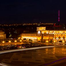
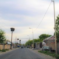
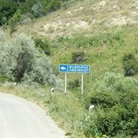
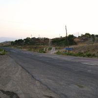
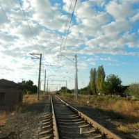
The M2 road links the four main towns and provides the essential transportation route within the region and toward the capital Yerevan. Visitors can easily reach different areas along this route while passing through varied terrain.
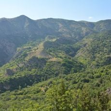
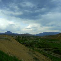
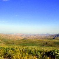
The region comprises about 97 municipalities and ranges from a low point of about 801 meters at the Araks River to heights of about 3,560 meters at Spitakasar peak. This broad elevation change creates different climate zones and landscape types within a relatively small area.
The community of curious travelers
AroundUs brings together thousands of curated places, local tips, and hidden gems, enriched daily by 60,000 contributors worldwide.