Cook Islands, Pacific archipelago in Oceania
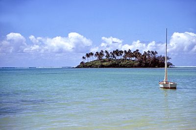
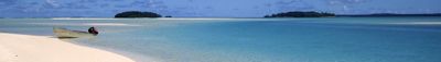
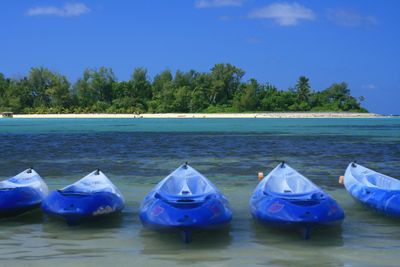
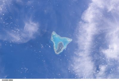
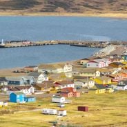
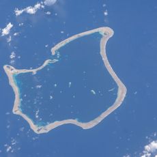
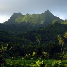
The Cook Islands are an archipelago of 15 atolls and volcanic islands in the southern Pacific between French Polynesia and Samoa, with inhabited areas covering roughly 240 square kilometers. The southern group shows mountainous terrain with dense vegetation, while the northern atolls form flat coral rings with lagoons and remain largely uninhabited because of their remote position.
Polynesian seafarers settled this region between the 9th and 14th centuries and developed independent tribal structures on individual islands. British missionaries reached the area in the 1820s, followed by establishment of a protectorate in 1888, before the territory gained self-governance through free association with New Zealand in 1965.
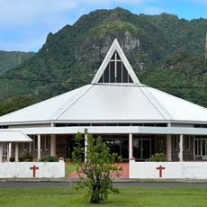
The Cook Islands' Polynesian culture appears most clearly in the lively tradition of ura, a dance style with rapid hip movements and rhythmic drumming. Villagers still maintain the practice of raui, a traditional protection system for fishing grounds and coconut groves that elders impose when resources need rest.
The best visiting period falls between April and November outside the rainy season, with the main airport on Rarotonga receiving flights from Auckland several times each week. Travel to remote northern atolls operates irregularly via cargo boats, while southern islands connect through weekly domestic flights, and cash remains necessary in many outer areas.
The nation maintains no military forces and delegates defense responsibilities to New Zealand by treaty, while conducting independent diplomatic relations. The complex political structure allows residents to hold dual citizenship with New Zealand without restrictions, enabling movement in both directions without usual immigration barriers.
The community of curious travelers
AroundUs brings together thousands of curated places, local tips, and hidden gems, enriched daily by 60,000 contributors worldwide.