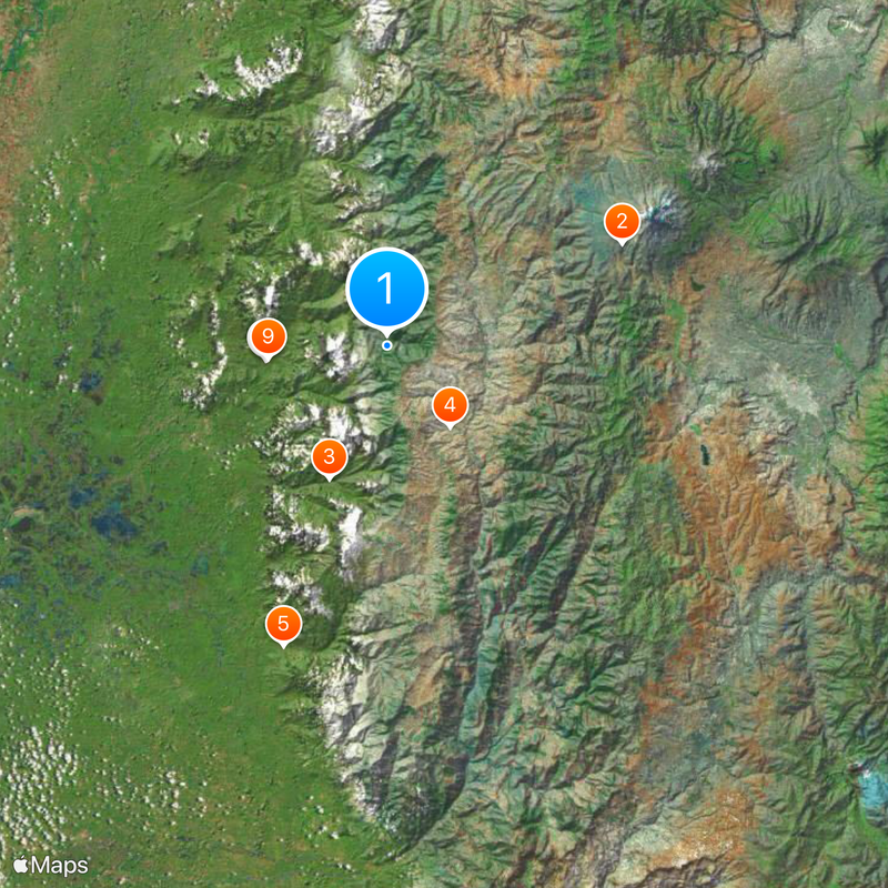
Bolívar Province, Province in Andes Mountains, Ecuador
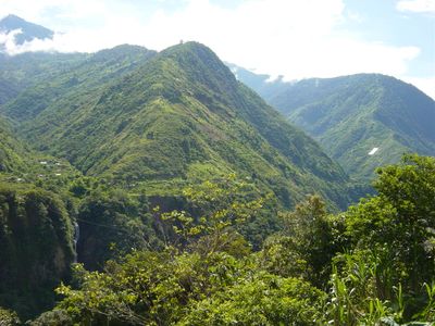
Bolívar is an administrative region in the central Ecuadorian highlands, extending across seven cantons. The terrain ranges from valleys to mountains reaching over 2,500 meters (8,200 feet) in elevation, cut by rivers flowing down from glacial zones.
The region was established as an administrative unit on April 23, 1884, named after the South American liberator Simón Bolívar. Before that date, the territory belonged to the neighboring regions of Chimborazo and Tungurahua.
Residents celebrate Carnival in Guaranda each February, one of the oldest festivals in the country featuring street dances and traditional masks. On market days, indigenous communities bring their produce into the valleys and speak in both Kichwa and Spanish.
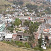
The capital city Guaranda sits at the center and connects the different cantons through mountain roads that wind through valleys. Travelers should prepare for changing weather and bring warm clothing, as the elevation creates temperature swings.
The newly created conservation area protects more than 40,000 hectares (99,000 acres) of high mountain wetlands that store water for many communities downstream. These moorlands sit at elevations where only specialized plants grow and rare Andean birds nest.
Location: Ecuador
Inception: April 23, 1884
Capital city: Guaranda
Elevation above the sea: 2,507 m
Shares border with: Cotopaxi Province, Los Ríos Province, Guayas Province, Chimborazo Province, Tungurahua Province
Website: http://bolivar.gob.ec
GPS coordinates: -1.61667,-79.11667
Latest update: December 4, 2025 23:40
Chimborazo
37.4 km
Quilotoa
88.9 km
Tungurahua volcano
76.1 km
Sangay National Park
90.4 km
Sangay volcano
96.5 km
Park Samanes
101.7 km
El Altar volcano
78.9 km
Cascada el Pailón del Diablo
94.4 km
Parque Histórico de Guayaquil
102.4 km
Illinizas Ecological Reserve
71.7 km
Chimborazo Fauna Production Reserve
32.4 km
Carihuairazo volcano
46.9 km
National Unity Bridge
101.9 km
Terminal Terrestre de Guayaquil
103.2 km
Iglesia de La Balbanera
41.2 km
Cathedral Basilica of Our Lady of the Elevation
68.5 km
Nariz del Diablo
74.6 km
Abras de Mantequilla
69.4 km
Atocha-La Liria Botanical Garden
69.3 km
Jardín botánico de Guayaquil
102.1 km
Museo Antropologico y de Arte Contemporaneo
105.5 km
Teatro Sánchez Aguilar
102 km
Museo Municipal de la Música Popular Julio Jaramillo
105.2 km
Our Lady of Mercy Cathedral, Babahoyo
50.5 km
Capilla del Cerro Santa Ana
105.3 km
Chimborazo
38.4 km
Catedral de San Jacinto
83.6 km
Martínez-Holguín House
70.1 kmReviews
Visited this place? Tap the stars to rate it and share your experience / photos with the community! Try now! You can cancel it anytime.
Discover hidden gems everywhere you go!
From secret cafés to breathtaking viewpoints, skip the crowded tourist spots and find places that match your style. Our app makes it easy with voice search, smart filtering, route optimization, and insider tips from travelers worldwide. Download now for the complete mobile experience.
A unique approach to discovering new places❞
— Le Figaro
All the places worth exploring❞
— France Info
A tailor-made excursion in just a few clicks❞
— 20 Minutes