Chest opened
+${chestReward.xp} XP
Explorer
NOUVEAU ×${chestReward.collectible.quantity}
tapez pour fermer
Chest locked

Open chests in the app

Around Us is built for your phone — chests unlock when you walk, explore and capture nearby places.

Enable Location

We need your location to show you interesting places around you

Discover nearby places

Find interesting locations and hidden gems around you

Precise directions

Get accurate directions and distances to places

Your location is never shared with other users. It's only used when you tap the location button.

Log in to your account

Start exploring — it's free

Trusted by 72,876 travelers worldwide

Continue with Google
Continue with Apple
or

We will send you a code to connect

By continuing, you accept our Terms and Conditions and our Privacy Policy

Check your inbox

We've sent a pincode in your inbox. Please enter the code below.

Geography of Ecuador
Discussion Reviews Photo
163k Popularity

Geography of Ecuador, Natural landscape formation in western South America

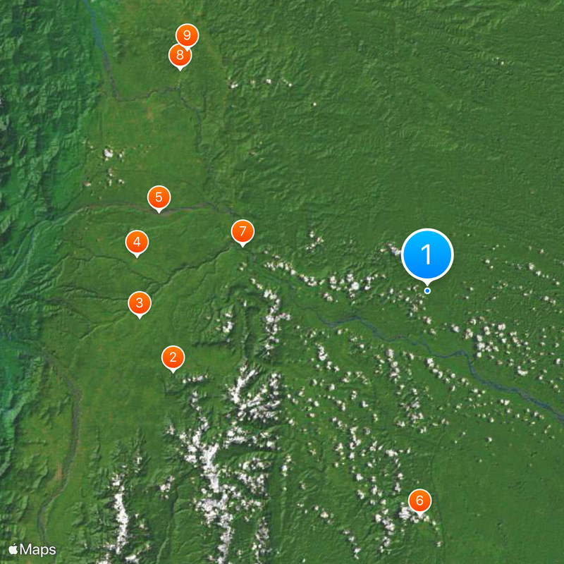
This country sits on the equator and contains four main zones: lowland plains along the Pacific shore, mountain ranges running north to south through the center, dense jungle in the east, and volcanic islands offshore. These regions lie remarkably close together despite their contrasting environments and climates.

The mountain range formed through plate collision over millions of years, creating peaks above 6000 meters (19,685 feet) that run the length of the country. This uplift separated the coastal zone from the rainforest basin and shaped the three mainland regions visible today.

The diverse geographical regions of Ecuador support different agricultural practices, from banana plantations on the coast to traditional highland farming in the Sierra.

Traveling between regions means adjusting to altitude changes from sea level to high mountains within short distances. Pack clothing for different climates since temperatures and weather shift dramatically depending on which zone you enter.

Some slopes on the eastern mountain edge receive over 5000 millimeters (197 inches) of rain each year, making them among the wettest places on Earth. This happens when moist air from the rainforest climbs the mountain flanks and releases its water in heavy downpours.

The community of curious travelers

AroundUs brings together thousands of curated places, local tips, and hidden gems, enriched daily by 60,000 contributors worldwide.

Start exploring
GPS coordinates
-2.00000,-77.50000
Latest update
December 12, 2025 21:04
Reviews
Share your experience

No review yet

Discussions
Start a discussion...

No discussion yet

« Geography of Ecuador - Natural landscape formation in western South America » is provided by Around Us (aroundus.com). Images and texts are derived from Wikimedia project under a Creative Commons license. You are allowed to copy, distribute, and modify copies of this page, under the conditions set by the license, as long as this note is clearly visible.

Discover hidden gems everywhere you go!

From secret cafés to breathtaking viewpoints, skip the crowded tourist spots and find places that match your style. Our app makes it easy with voice search, smart filtering, route optimization, and insider tips from travelers worldwide. Download now for the complete mobile experience.

Around Us App Screenshot

A unique approach to discovering new places

Le Figaro

All the places worth exploring

France Info

A tailor-made excursion in just a few clicks

20 Minutes

Around Us
Travel Guide & Maps
Download

Send to your phone

QR Code
1

Open the camera app on your mobile.

2

Point at the QR code with your camera. A notification will appear.

3

Tap the notification to open the link.