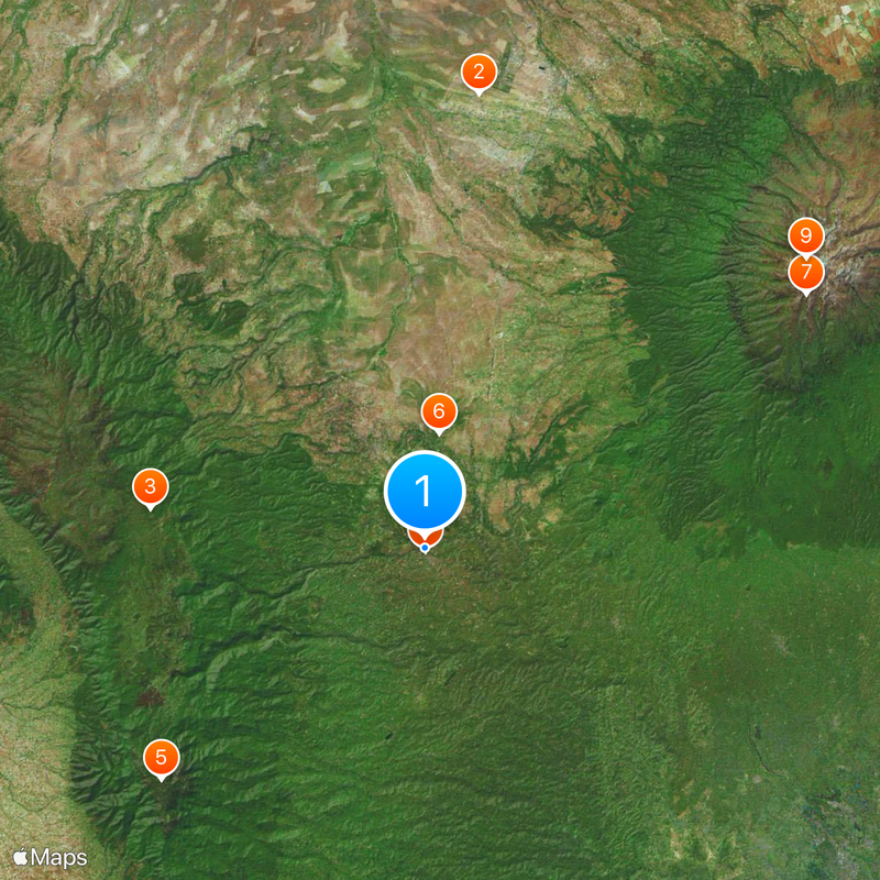
Nyeri County, Administrative division in central Kenya
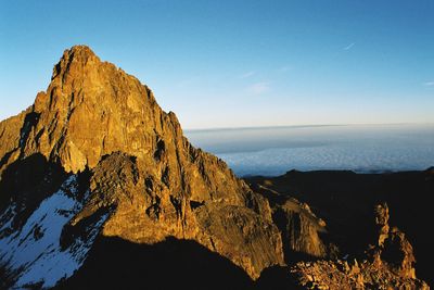
Nyeri County is an administrative division in central Kenya situated between Mount Kenya to the east and the Aberdare mountain range to the west. The area covers approximately 2,361 square kilometers and is organized into eight sub-counties: Kieni East, Kieni West, Mathira East, Mathira West, Nyeri Central, Mukurweini, Tetu, and Othaya.
The county was established as an administrative district in Kenya's modern governance structure and played a significant role in the nation's independence movement. It was also the birthplace of Mwai Kibaki, who served as Kenya's third president from 2002 to 2013.
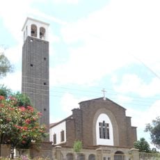
The region maintains strong connections to Kikuyu customs that shape community life and local practices. Residents practice different religions including Catholicism, Protestantism, Islam, and Hinduism alongside traditional beliefs.
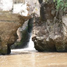
The region sits in Kenya's fertile highlands with green landscapes throughout the year due to regular rainfall. Visitors can find several towns and villages scattered across the area, with Nyeri Town serving as the largest center for shops and services.
The county benefits from its location in Kenya's highland zone, which is particularly suited for tea cultivation and other crops. Its proximity to the capital Nairobi makes it an important supply area for the metropolis.
The community of curious travelers
AroundUs brings together thousands of curated places, local tips, and hidden gems, enriched daily by 60,000 contributors worldwide.