
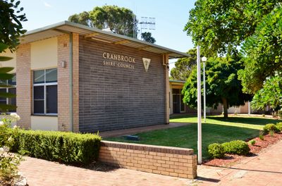
Cranbrook shire offices, Local government building in Cranbrook, Western Australia
Location: Shire of Cranbrook
Location: Western Australia
GPS coordinates: -34.29582,117.55391
Latest update: March 14, 2025 19:08
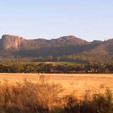
Porongurup National Park
55.1 km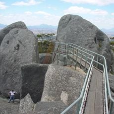
Castle Rock
55.7 km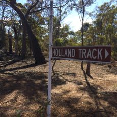
Holland Track
52.4 km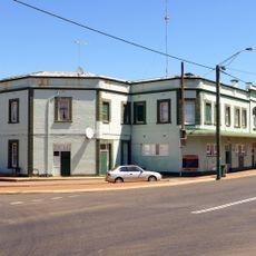
Broomehill Hotel
50.8 km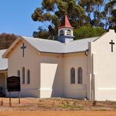
St Elizabeth's Anglican Church
50.6 km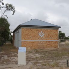
Gnowangerup Agricultural Hall
57.7 km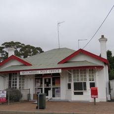
Broomehill Post Office and Quarters
50.7 km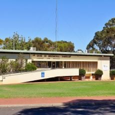
Broomehill shire offices
50.9 km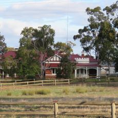
Telyarup Homestead
57.4 km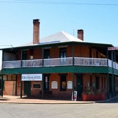
Cranbrook Hotel, Western Australia
152 m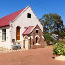
Broomehill Museum
50.8 km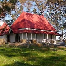
St Werburgh's Chapel and Cemetery
43.6 km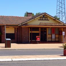
Gnowangerup Post Office
57.8 km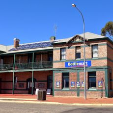
Gnowangerup Hotel
57.7 km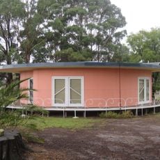
Round House, Mount Barker
36.9 km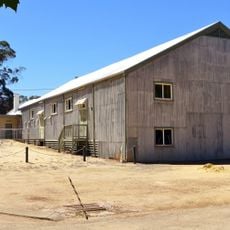
Broomehill Shire Hall and Road Board Offices (former)
50.9 km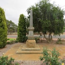
Broomehill War Memorial
50.9 km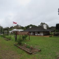
Police Station and Gaol Complex
37.2 km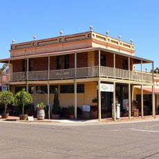
Jones's Buildings
50.7 km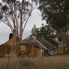
Martinup
53.3 km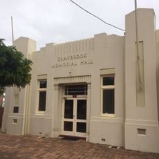
Cranbrook Memorial Hall
33 m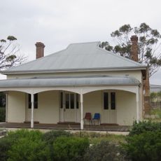
Gnowangerup Noongar Centre
57.5 km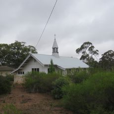
St Mildred's Anglican Church, Tenterden
7.4 km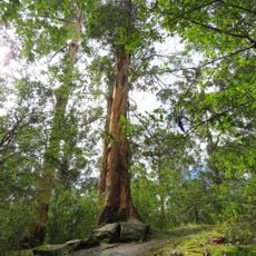
Tree-in-the-Rock, Porongurup National Park
51.4 km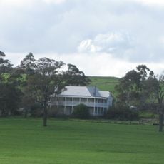
Hassell Homestead
23.8 km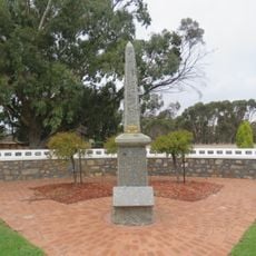
Cranbrook War Memorial
46 m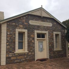
Cranbrook Road Board Hall
21 m
Lucinda Tanks
52.1 kmReviews
Visited this place? Tap the stars to rate it and share your experience / photos with the community! Try now! You can cancel it anytime.
Discover hidden gems everywhere you go!
From secret cafés to breathtaking viewpoints, skip the crowded tourist spots and find places that match your style. Our app makes it easy with voice search, smart filtering, route optimization, and insider tips from travelers worldwide. Download now for the complete mobile experience.

A unique approach to discovering new places❞
— Le Figaro
All the places worth exploring❞
— France Info
A tailor-made excursion in just a few clicks❞
— 20 Minutes