
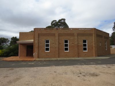
St. Mary's Church, Darkan, church in Darkan, Western Australia
Location: Shire of West Arthur
Location: Western Australia
GPS coordinates: -33.33922,116.74348
Latest update: August 31, 2025 09:30
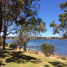
Towerrining Lake
27.3 km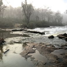
Lane Poole Reserve
42.8 km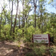
Greater Preston National Park
53.2 km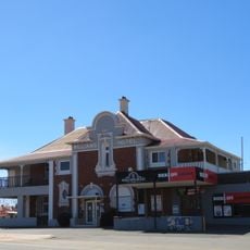
Williams Hotel
36.8 km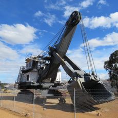
Dragline excavator Shovel 6, Collie
41 km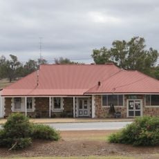
Darkan Hotel
452 m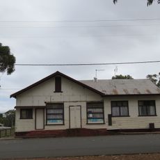
Duranillin Store
20.4 km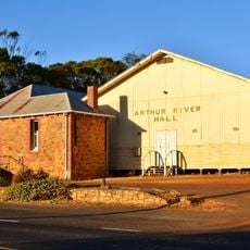
Arthur River Hall
27.1 km
Arthur River Post Office
27.1 km
Williams Agricultural Hall
37.1 km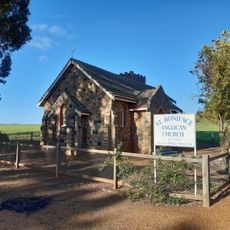
St Boniface Anglican Church, Quindanning
36.9 km
Williams Post Office
37 km
ABC Transmission Station
32.3 km
Darkan Pioneer Hall
246 m
Old Tillellan (Piesse's) Shearing Shed
27.4 km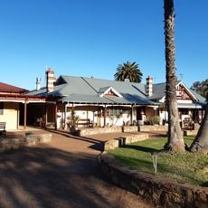
Quindanning Hotel
36.7 km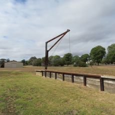
Railway Crane and Loading Ramp, Darkan
330 m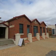
Shire of West Arthur Health and Resource Centre
352 m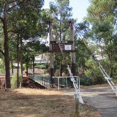
Suspension footbridge
54.1 km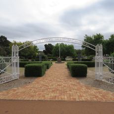
West Arthur War Memorial
364 m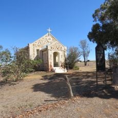
St Paul's Church, Arthur River
26.8 km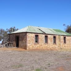
Old Tillellan (Piesse's) Shearing Quarters
27.5 km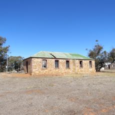
"The Arthur" Wool Shed Group
27.4 km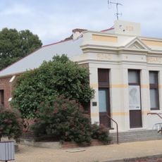
Darkan Road Board Office
343 m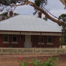
Darkan Station Master's House
387 m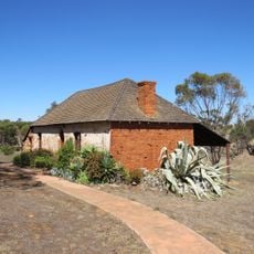
Mount Pleasant Inn Kitchen
27.1 km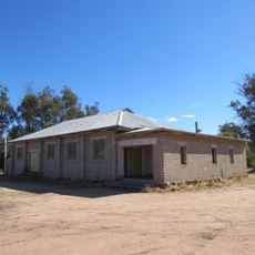
Changerup Hall
46.2 km
Quindanning Bridge
36.7 kmVisited this place? Tap the stars to rate it and share your experience / photos with the community! Try now! You can cancel it anytime.
Discover hidden gems everywhere you go!
From secret cafés to breathtaking viewpoints, skip the crowded tourist spots and find places that match your style. Our app makes it easy with voice search, smart filtering, route optimization, and insider tips from travelers worldwide. Download now for the complete mobile experience.

A unique approach to discovering new places❞
— Le Figaro
All the places worth exploring❞
— France Info
A tailor-made excursion in just a few clicks❞
— 20 Minutes