Katanning, town in Western Australia
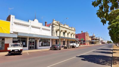
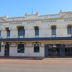
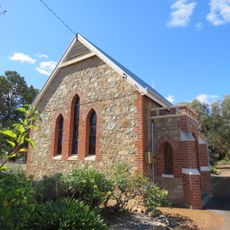
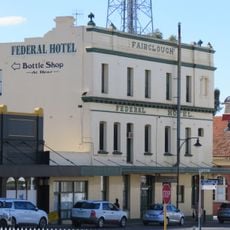
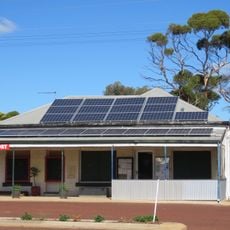
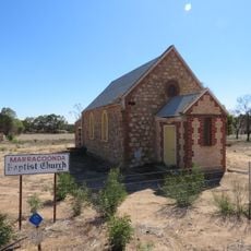
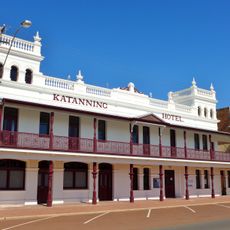
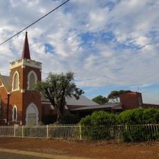
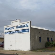
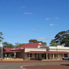
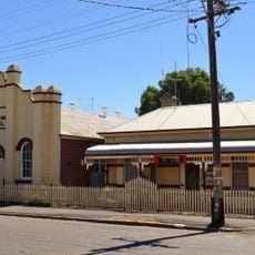
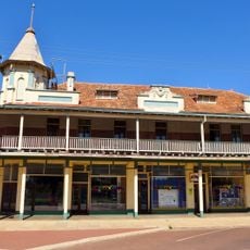
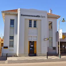
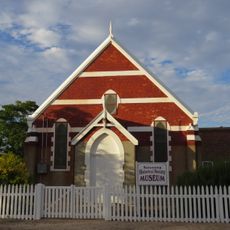
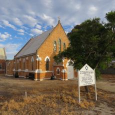
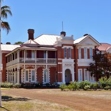
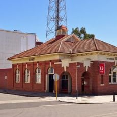
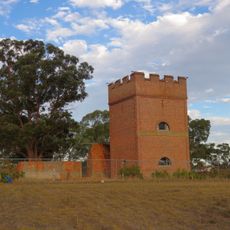
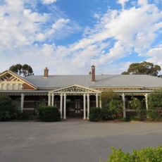
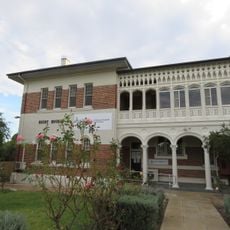
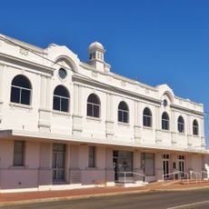
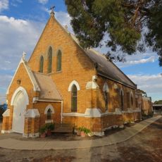
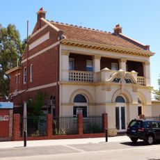
Katanning is a town in Western Australia that spreads across open fields of wheat and grazing land, mixing historic brick buildings with modern structures throughout its wide streets. The landscape features heritage churches from the 1890s, an old railway station, shops and hotels from the early 1900s, and community spaces that reflect rural life from the town's founding to today.
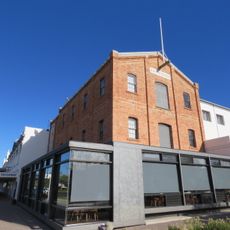
Katanning grew after the railway arrived in 1889, establishing itself as a center for grain processing and farming trade. Key buildings from the 1890s including the Premier Mill and several churches mark this period of rapid expansion, while the railway line connected the town to Perth and surrounding regions for trade and movement of goods.
Katanning is home to diverse communities that gather throughout the year to share traditions and celebrate together. The Harmony Festival and local events feature music, food, and performances that reflect the town's multicultural character and bring residents from different backgrounds into shared spaces.
The town is easy to explore on foot or by car, with wide streets and flat terrain making navigation straightforward. Spring and autumn are ideal for visiting, when temperatures are mild and local events like the Harmony Festival take place. Most facilities and shops are centrally located and accessible.
The town was called Kaat-Nyiny by the local Noongar people, a name rooted in Dreamtime stories about a giant named Mulka whose body parts are scattered across the landscape. These stories and names remain visible throughout the region, connecting visitors to thousands of years of history at this place.
The community of curious travelers
AroundUs brings together thousands of curated places, local tips, and hidden gems, enriched daily by 60,000 contributors worldwide.