
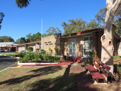
Boyup Brook shire offices, local government building in Western Australia
Location: Shire of Boyup Brook
GPS coordinates: -33.83178,116.38583
Latest update: April 14, 2025 22:43
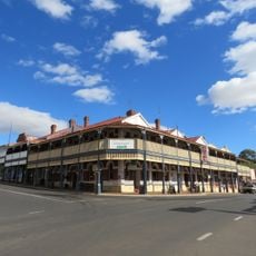
Freemasons Hotel, Bridgetown
26.9 km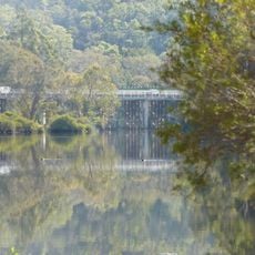
Bridgetown Road Bridge
27.8 km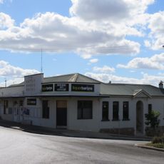
Boyup Brook Hotel
242 m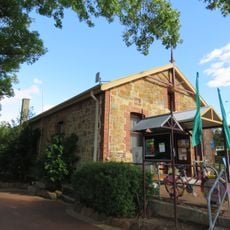
Boyup Brook Visitor Centre
325 m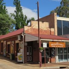
Geegelup Health Food Shop
27 km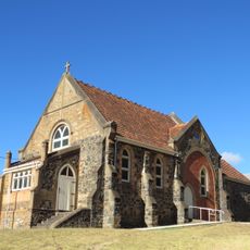
St Paul's Anglican Church & Church Hall
27.4 km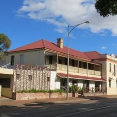
Scott's Tavern
27.2 km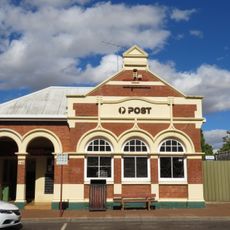
Bridgetown Post Office
26.9 km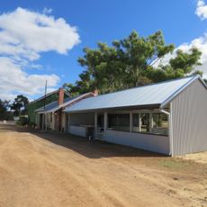
Flaxmill Caravan Park, Boyup Brook
1.4 km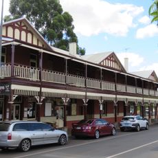
Bridgetown Hotel
26.9 km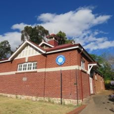
Masonic Lodge
27.1 km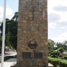
Boyup Brook War Memorial
54 m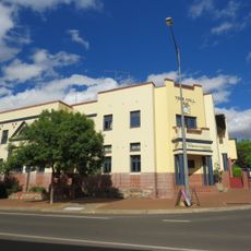
Bridgetown Civic and Community Centre
26.9 km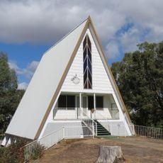
Seventh-day Adventist church, Boyup Brook
774 m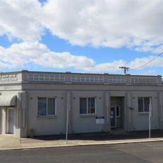
Commercial Bank of Australia (Fmr)
297 m
Blue Atlas Cedar Tree
27.7 km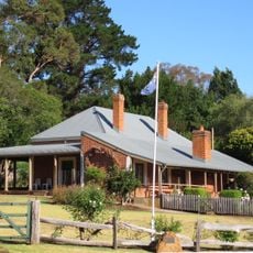
Bridgedale, Bridgetown
27.7 km
Bridgetown Trainmen's Barracks (former)
27.2 km
Boyup Brook Town Hall
71 m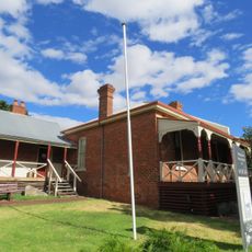
Old Gaol & Police Quarters, Bridgetown
26.9 km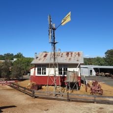
Kulikup School (former)
223 m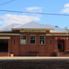
Boyup Brook Post Office
321 m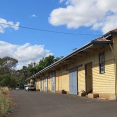
Paterson & Co Fruit Packing Shed Complex
26.8 km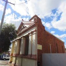
Bridgetown Roads Board Office (fmr)
26.8 km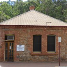
Lawyers' Office
27.1 km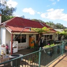
Maslin House, Bridgetown
27.2 km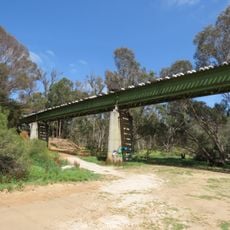
Bridgetown Railway Bridge
27.8 km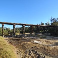
Boyup Brook railway bridge
2.1 kmVisited this place? Tap the stars to rate it and share your experience / photos with the community! Try now! You can cancel it anytime.
Discover hidden gems everywhere you go!
From secret cafés to breathtaking viewpoints, skip the crowded tourist spots and find places that match your style. Our app makes it easy with voice search, smart filtering, route optimization, and insider tips from travelers worldwide. Download now for the complete mobile experience.

A unique approach to discovering new places❞
— Le Figaro
All the places worth exploring❞
— France Info
A tailor-made excursion in just a few clicks❞
— 20 Minutes