
Lowden, locality in Western Australia
Location: Shire Of Donnybrook-Balingup
GPS coordinates: -33.53613,115.97343
Latest update: November 21, 2025 08:28
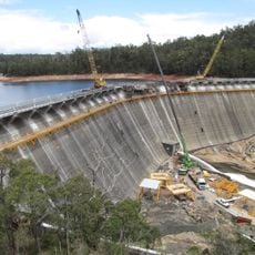
Wellington Dam Hydro Power Station
15.5 km
Wellington Weir
15.2 km
Wellington Reservoir
15.5 km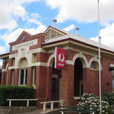
Donnybrook Post Office
14.4 km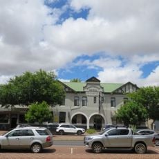
Donnybrook Hotel
14.4 km
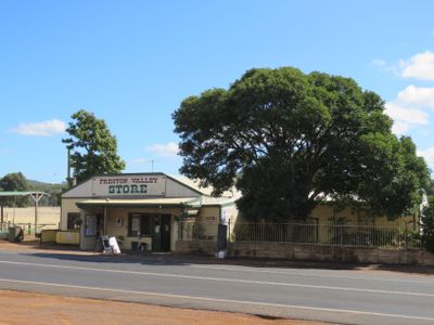
Preston Valley Store
169 m
Brookhampton Hall
10.4 km
Mosedale Park
155 m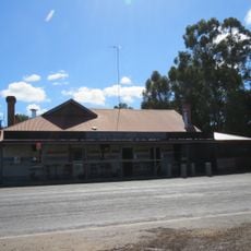
Forrest Tavern
12.9 km
A.T. Brine's Donnybrook Sandstone Quarries
13.1 km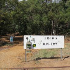
Frog's Hollow, Lowden
127 m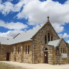
All Saints' Anglican Church, Donnybrook
14.3 km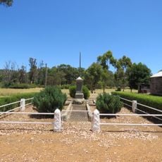
Brookhampton War Memorial
10.3 km
Gnomesville
9.9 km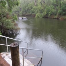
Long Pool, Wellington National Park
16.5 km
Donnybrook Country Club
15.2 km
Gnomesville
9.8 km
King Jarrah
9.6 km
Mica Mine
9.5 km
Reflections
15 km
The Boulders
16 km
Scenic viewpoint
16 km
Wellington Dam Lookout
15.1 km
Stone Causeway
13.8 km
Old Bridge
10.2 km
Old Tank Stand
6 km
Old Lookout Tower
8.6 km
Old Ford and Rail Bridge
9.6 kmReviews
Visited this place? Tap the stars to rate it and share your experience / photos with the community! Try now! You can cancel it anytime.
Discover hidden gems everywhere you go!
From secret cafés to breathtaking viewpoints, skip the crowded tourist spots and find places that match your style. Our app makes it easy with voice search, smart filtering, route optimization, and insider tips from travelers worldwide. Download now for the complete mobile experience.

A unique approach to discovering new places❞
— Le Figaro
All the places worth exploring❞
— France Info
A tailor-made excursion in just a few clicks❞
— 20 Minutes