
Goomalling, locality in Wheatbelt region of Western Australia
Location: Shire Of Goomalling
GPS coordinates: -31.29970,116.82852
Latest update: June 10, 2025 20:18
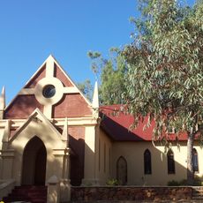
St John the Baptist Church, Toodyay (1863-1963)
44.1 km
Victoria Billiard Saloon
44.2 km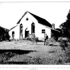
Roman Catholic Church Group, Toodyay
44 km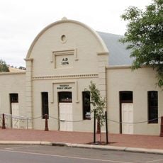
Toodyay Public Library
44.1 km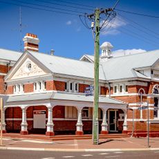
Northam Post Office
42.3 km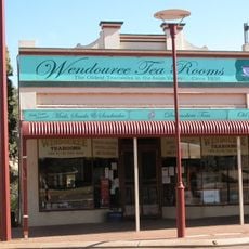
Wendouree Tearooms
44.1 km
Toodyay Garage
44.1 km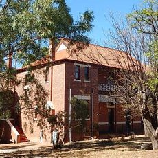
St Aloysius Convent boys dormitory
44 km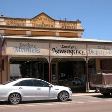
Jager Stores
44.2 km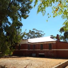
St Aloysius Convent girls dormitory, Toodyay
43.9 km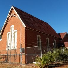
Old Newcastle School
44.2 km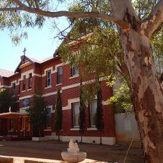
St Aloysius Convent of Mercy
43.9 km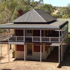
Dr Growse's House
44 km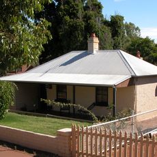
Kirk's (Pensioner) Cottage
44 km
Leeder's House
44.1 km
Hackett's (Pensioner) Cottage
44 km
Shoemaker's House
44.1 km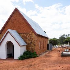
Saint Philip Church, Culham Western Australia
41 km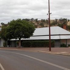
Demasson's House and Shop
44.1 km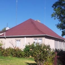
James Martin's Cottage
44.1 km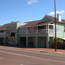
Toodyay Tavern
44 km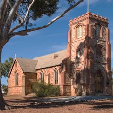
St John's Anglican Church & Parish Hall, Northam
41.7 km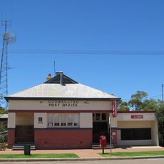
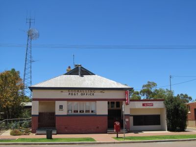
Goomalling Post Office & Quarters
172 m
Colonial Tavern & Stables, Northam
43.3 km
Northam Railway Station (former)
43.2 km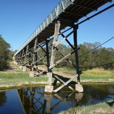
Newcastle Park Footbridge
43.9 km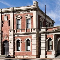
Northam Town Hall/Lesser Hall
42.4 km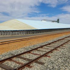
Calingiri grain receival point
43.3 kmReviews
Visited this place? Tap the stars to rate it and share your experience / photos with the community! Try now! You can cancel it anytime.
Discover hidden gems everywhere you go!
From secret cafés to breathtaking viewpoints, skip the crowded tourist spots and find places that match your style. Our app makes it easy with voice search, smart filtering, route optimization, and insider tips from travelers worldwide. Download now for the complete mobile experience.

A unique approach to discovering new places❞
— Le Figaro
All the places worth exploring❞
— France Info
A tailor-made excursion in just a few clicks❞
— 20 Minutes