
Calingiri, locality in Western Australia
Location: Shire Of Victoria Plains
GPS coordinates: -31.08933,116.44907
Latest update: November 20, 2025 05:51
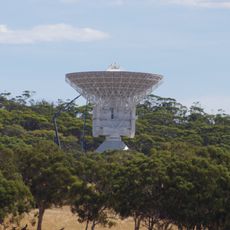
ESTRACK
24.9 km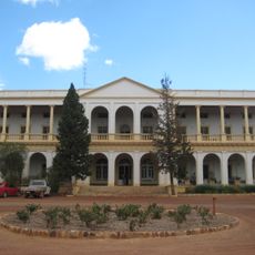
New Norcia Hotel
26.1 km
Drummond Nature Reserve
25.6 km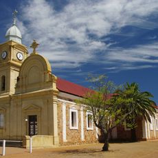
Abbey Church of the Holy Trinity, New Norcia
25.9 km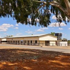
Wongan Hills Railway Barracks
33.6 km
Boomer Hill
26.5 km
Chiro Observatory
17.8 km
Glentromie Farm Group
28 km
Railway Houses, Ganzer Street
33.8 km
Wyening Mission House
12.1 km
Wongan Hills Hospital (former)
33.9 km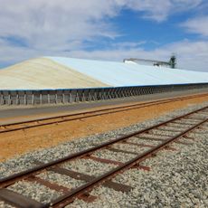
Calingiri grain receival point
340 m
Railway house
33.8 km
Summer Hill Group
30.7 km
Wyening Mission Group
12.3 km
Bejoording Homestead Complex and Central Square
33.7 km
Benedictine Winery (former)
12.4 km
ESA Information Centre
26 km
New Norcia Monastery
25.8 km
Calingiri Golf Club
775 m
New Norcia Lookout
24.9 km
New Norcia Visitor Centre, Museum, Art Gallery and Gift Shop
26 km
Work of art, mural
227 m
Scenic viewpoint
35.8 km
Scenic viewpoint
35.4 km
War Memorial
33.9 km
Wayside cross
26 km
Salvado Statue
26 kmReviews
Visited this place? Tap the stars to rate it and share your experience / photos with the community! Try now! You can cancel it anytime.
Discover hidden gems everywhere you go!
From secret cafés to breathtaking viewpoints, skip the crowded tourist spots and find places that match your style. Our app makes it easy with voice search, smart filtering, route optimization, and insider tips from travelers worldwide. Download now for the complete mobile experience.

A unique approach to discovering new places❞
— Le Figaro
All the places worth exploring❞
— France Info
A tailor-made excursion in just a few clicks❞
— 20 Minutes