Danberrin Hill, rock formation in Western Australia
Location: Shire of Nungarin
Elevation above the sea: 287 m
GPS coordinates: -31.28580,118.05250
Latest update: November 20, 2025 11:14

Merredin Uniting Church
30.3 km
Merredin War Memorial
30.4 km
Merredin Post Office Group
30.6 km
Baandee CWA Rest Room
27 km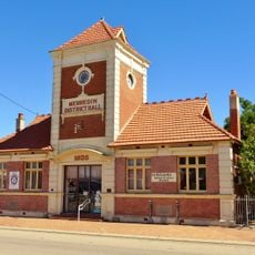
Merredin District Hall
30.6 km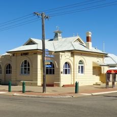
Merredin Post Office
30.6 km
Merredin Fire Station Complex
30.5 km
Mount Moore
24.9 km
Mangowine Homestead
27.1 km
Nungarin Heritage Machinery and Army Museum
11.9 km
Eaglestone Rock
29.2 km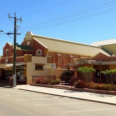
Cummins Theatre
30.5 km
Billyacatting Hill
26.3 km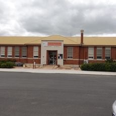
Merredin Public Library
30.4 km
Mangowine Grave Sites
26.9 km
Railway Housing Precinct, Merredin
30.5 km
Mangowine Dam
26.7 km
Merredin State Farm Manager's House (fmr)
28.6 km
Commercial Hotel
30.5 km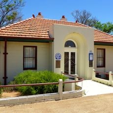
Alice Williams Memorial Building, Nungarin
12.2 km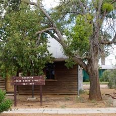
Nungarin Roads Board Office (fmr)
12.1 km
Army Vehicle Workshop
12 km
Merredin Golf
30.5 km
Studio Artistique
12.1 km
Memorial
12.1 km
War memorial, memorial
30.1 km
Ruins
29.9 km
Ruins
29.9 kmReviews
Visited this place? Tap the stars to rate it and share your experience / photos with the community! Try now! You can cancel it anytime.
Discover hidden gems everywhere you go!
From secret cafés to breathtaking viewpoints, skip the crowded tourist spots and find places that match your style. Our app makes it easy with voice search, smart filtering, route optimization, and insider tips from travelers worldwide. Download now for the complete mobile experience.

A unique approach to discovering new places❞
— Le Figaro
All the places worth exploring❞
— France Info
A tailor-made excursion in just a few clicks❞
— 20 Minutes