Download the around.us app
For a better experience, use our mobile application.
Mount Zeil

Mount Zeil

Popularity :

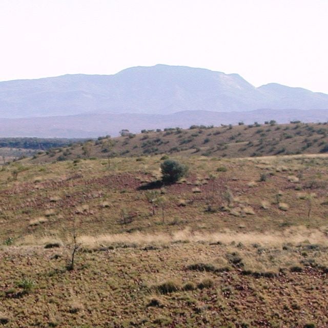
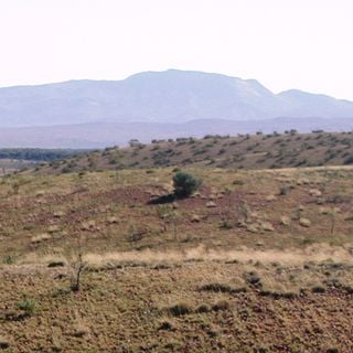
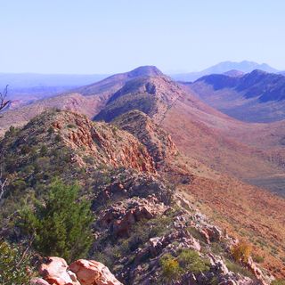
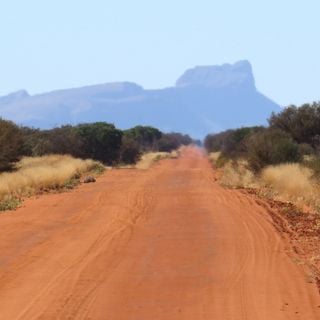
Mount Zeil, Highest peak in the Northern Territory, Australia

Mount Zeil stands at 1,531 meters above sea level.

It was named by explorer John McDouall Stuart in 1860.

The area around Mount Zeil is traditional Arrente Aboriginal land.

Access to Mount Zeil requires traversal of private property and a permit.

The mountain's isolation creates a stunning view unobstructed by other peaks.

Sources: Wikimedia, OpenStreetMap

Filters

Mount Zeil Highest peak in the Northern Territory, Australia

Mount Zeil stands at 1,531 meters above sea level.

Australia 0 m
Mount Zeil
Mount Zeil Highest peak in the Northern Territory, Australia
Australia 0 m
Glen Helen Gorge Gorge in Australia

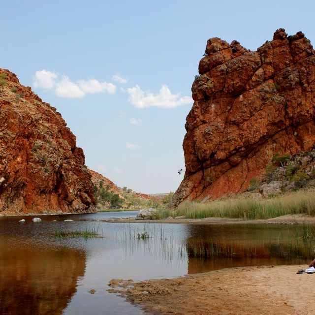
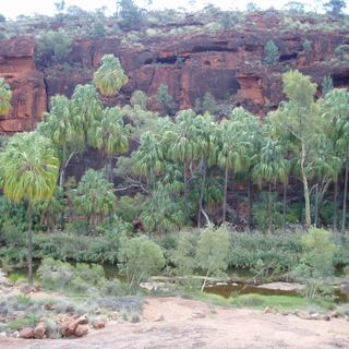
Glen Helen Gorge, surrounded by the West MacDonnell Ranges.

Australia 43 km
Glen Helen Gorge
Glen Helen Gorge Gorge in Australia
Australia 43 km
Tjoritja / West MacDonnell National Park National park in Australia

Tjoritja / West MacDonnell National Park is renowned for its breathtaking mountain views and deep gorges.

Australia 46.3 km
Tjoritja / West MacDonnell National Park
Tjoritja / West MacDonnell National Park National park in Australia
Australia 46.3 km
Ochre Pits Historical mine in Australia

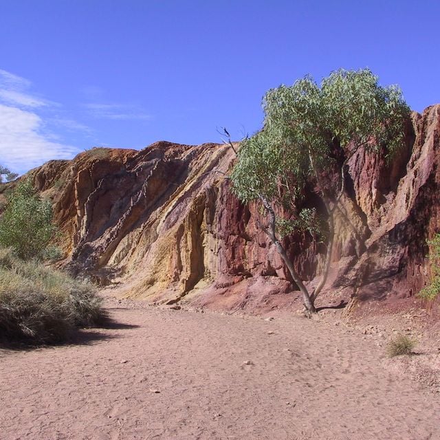
The Ochre Pits are a colorful outcrop of ochre on the banks of a creek.

Australia 60.7 km
Ochre Pits
Ochre Pits Historical mine in Australia
Australia 60.7 km
Serpentine Gorge Canyon in Australia

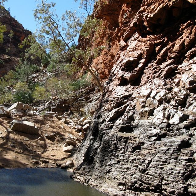
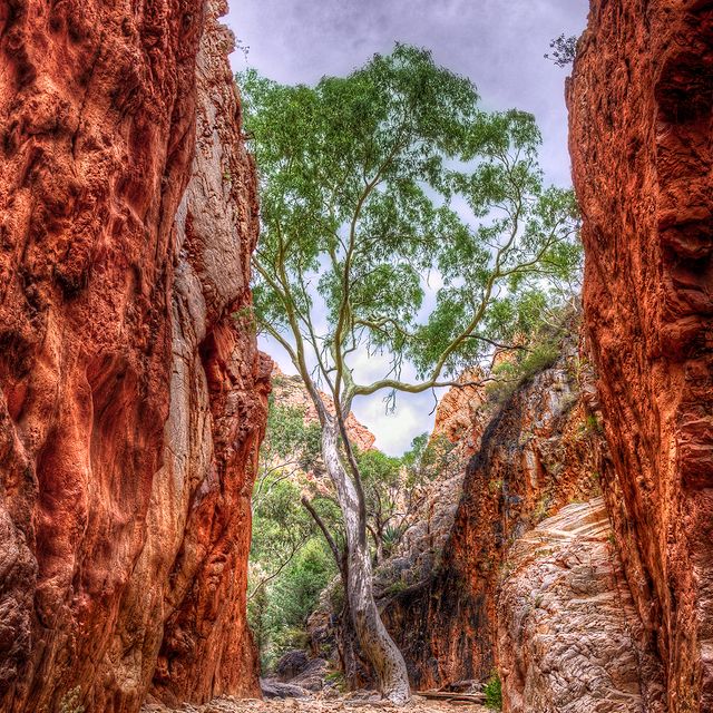
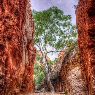
Serpentine Gorge is a stunning natural formation within the West MacDonnell Ranges.

Australia 71.2 km
Serpentine Gorge
Serpentine Gorge Canyon in Australia
Australia 71.2 km
Finke Gorge National Park National park in Australia

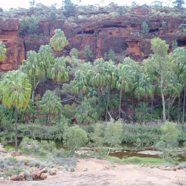
Finke Gorge National Park is renowned for its ancient landscape, with significant sandstone formations and a diverse range of plant life.

Australia 94 km
Finke Gorge National Park
Finke Gorge National Park National park in Australia
Australia 94 km
Mount Liebig

Australia 106 km
Mount Liebig
Australia 106 km
Standley Chasm Rock formation in Australia

Standley Chasm, also known as Angkerle Atwatye, is a striking geological feature.

Australia 115.4 km
Standley Chasm
Standley Chasm Rock formation in Australia
Australia 115.4 km
Hamilton Downs Station Homestead in Australia

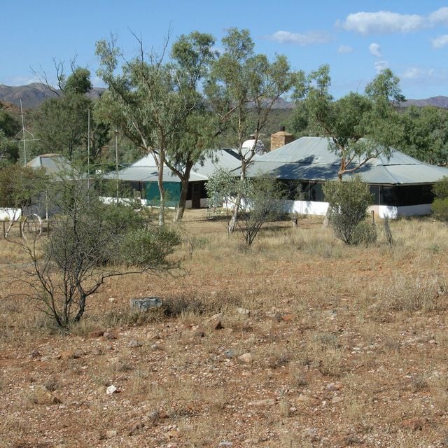
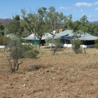
Hamilton Downs Station is a pastoral lease and cattle station in the Northern Territory of Australia.

Australia 115.9 km
Hamilton Downs Station
Hamilton Downs Station Homestead in Australia
Australia 115.9 km
Watarrka National Park National park in Australia

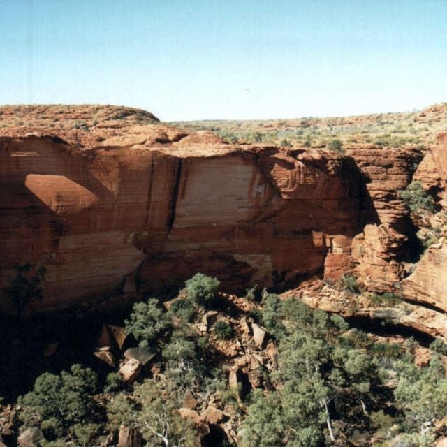
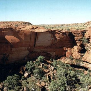
Watarrka National Park encompasses the majestic Kings Canyon with its 100-meter-high sandstone walls.

Australia 121.9 km
Watarrka National Park
Watarrka National Park National park in Australia
Australia 121.9 km
« Mount Zeil - Highest peak in the Northern Territory, Australia » is provided by Around.Us (aroundus.com). Images and texts are derived from Wikimedia project under a Creative Commons license. You are allowed to copy, distribute, and modify copies of this page, under the conditions set by the license, as long as this note is clearly visible.