Enable Location

We need your location to show you interesting places around you

Discover nearby places

Find interesting locations and hidden gems around you

Precise directions

Get accurate directions and distances to places

Your location is never shared with other users. It's only used when you tap the location button.

Log in to your account

Start exploring — it's free

Trusted by 62,989 travelers worldwide

Continue with Google
Continue with Apple
or

We will send you a code to connect

By continuing, you accept our Terms and Conditions and our Privacy Policy

Check your inbox

We've sent a pincode in your inbox. Please enter the code below.

Discussion Reviews Photo
34.4k Popularity

Ogan Komering Ulu, Administrative region in South Sumatra, Indonesia.

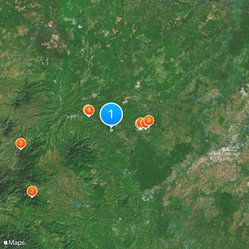
Ogan Komering Ulu is an administrative region in South Sumatra with gently rolling terrain and a network of thirteen districts. The city of Baturaja serves as the administrative center that coordinates activities across all these communities.

The territory took its current form after administrative reforms in 2003, when larger portions were separated. This division created the neighboring East and South Ogan Komering Ulu regions and established the present-day boundaries.

The Harimau Cave in Padangbindu holds geometric patterns carved into its walls by ancient inhabitants. Visitors can observe artifacts displayed there that reveal how people lived in this region thousands of years ago.

The region is easily accessible with basic infrastructure centered around Baturaja. Visitors should prepare for tropical conditions and allow time to reach local caves and natural sites scattered across the area.

The Putri Cave near Baturaja contains a water-filled chamber with archaeological findings from different periods. This submerged underground formation makes the site a rare geological feature in the region.

The community of curious travelers

AroundUs brings together thousands of curated places, local tips, and hidden gems, enriched daily by 60,000 contributors worldwide.

Start exploring
Location
Capital city
Baturaja
Elevation above the sea
139 m
Reference
16.01
Shares border with
Ogan Ilir, East Ogan Komering Ulu, South Ogan Komering Ulu, Muara Enim
GPS coordinates
-4.13333,104.03333
Latest update
December 19, 2025 22:49
Reviews
Share your experience

No review yet

Discussions
Start a discussion...

No discussion yet

Administrative divisions
« Ogan Komering Ulu - Administrative region in South Sumatra, Indonesia » is provided by Around Us (aroundus.com). Images and texts are derived from Wikimedia project under a Creative Commons license. You are allowed to copy, distribute, and modify copies of this page, under the conditions set by the license, as long as this note is clearly visible.

Discover hidden gems everywhere you go!

From secret cafés to breathtaking viewpoints, skip the crowded tourist spots and find places that match your style. Our app makes it easy with voice search, smart filtering, route optimization, and insider tips from travelers worldwide. Download now for the complete mobile experience.

Around Us App Screenshot

A unique approach to discovering new places

Le Figaro

All the places worth exploring

France Info

A tailor-made excursion in just a few clicks

20 Minutes

Around Us
Travel Guide & Maps
Download

Send to your phone

QR Code
1

Open the camera app on your mobile.

2

Point at the QR code with your camera. A notification will appear.

3

Tap the notification to open the link.