Enable Location

We need your location to show you interesting places around you

Discover nearby places

Find interesting locations and hidden gems around you

Precise directions

Get accurate directions and distances to places

Your location is never shared with other users. It's only used when you tap the location button.

Log in to your account

Start exploring — it's free

Trusted by 62,989 travelers worldwide

Continue with Google
Continue with Apple
or

We will send you a code to connect

By continuing, you accept our Terms and Conditions and our Privacy Policy

Check your inbox

We've sent a pincode in your inbox. Please enter the code below.

Penukal Abab Lematang Ilir
Discussion Reviews Photo
23k Popularity

Penukal Abab Lematang Ilir, Administrative region in South Sumatra, Indonesia.

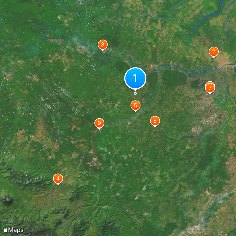
Penukal Abab Lematang Ilir is an administrative region in South Sumatra that spans across five districts with different local centers. The territory is surrounded by other regencies and serves as a major administrative hub for communities throughout the area.

This region was established as an independent administrative regency in 2013 after five districts separated from the neighboring Muara Enim Regency. The creation reflects administrative reforms designed to better serve the governance needs of local communities.

The population of 209,771 residents combines Malay and Javanese communities, maintaining their traditional customs within South Sumatra's regional identity.

Talang Ubi functions as the administrative center and is where to find public services and governance offices. It is advisable to explore the local infrastructure to understand the services available to residents and visitors in the area.

Three major rivers - the Penukal, Abab, and Lematang - shape this region and form the basis of its name. The term Ilir refers to the downstream location of these waterways, showing how closely the area is tied to its natural water systems.

The community of curious travelers

AroundUs brings together thousands of curated places, local tips, and hidden gems, enriched daily by 60,000 contributors worldwide.

Start exploring
Location
Inception
January 11, 2013
Founders
Government of Indonesia
Capital city
Talang Ubi
Elevation above the sea
25 m
Shares border with
Prabumulih, Muara Enim, Musi Rawas, Musi Banyuasin, Banyuasin
GPS coordinates
-3.21342,104.08722
Latest update
December 20, 2025 15:08
Reviews
Share your experience

No review yet

Discussions
Start a discussion...

No discussion yet

Administrative divisions
« Penukal Abab Lematang Ilir - Administrative region in South Sumatra, Indonesia » is provided by Around Us (aroundus.com). Images and texts are derived from Wikimedia project under a Creative Commons license. You are allowed to copy, distribute, and modify copies of this page, under the conditions set by the license, as long as this note is clearly visible.

Discover hidden gems everywhere you go!

From secret cafés to breathtaking viewpoints, skip the crowded tourist spots and find places that match your style. Our app makes it easy with voice search, smart filtering, route optimization, and insider tips from travelers worldwide. Download now for the complete mobile experience.

Around Us App Screenshot

A unique approach to discovering new places

Le Figaro

All the places worth exploring

France Info

A tailor-made excursion in just a few clicks

20 Minutes

Around Us
Travel Guide & Maps
Download

Send to your phone

QR Code
1

Open the camera app on your mobile.

2

Point at the QR code with your camera. A notification will appear.

3

Tap the notification to open the link.