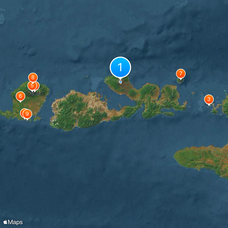
Tambora, Active stratovolcano in Sumbawa Island, Indonesia
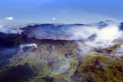
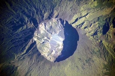
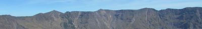
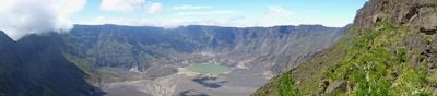
Tambora is a stratovolcano on Sumbawa in Indonesia that reaches 2850 meters (9350 feet) elevation and features a caldera about 7 kilometers (4 miles) wide at its rim. Steep walls descend into this bowl, where ash fields and scattered fumaroles mark the crater floor.
The eruption in 1815 launched enormous volumes of volcanic material into the atmosphere and lowered global temperatures noticeably. The following year brought crop failures across multiple continents and is remembered as one of the coldest since weather records began.
Villages surrounding the volcano share oral histories about the forces of nature that remain part of daily awareness. These storytelling traditions connect younger generations to the mountain's past and shape how local people understand their environment today.
Reaching the summit requires a guided two day trek with camping gear, enough drinking water and warm clothing for cool nights at elevation. The route climbs through dense jungle in the lower sections before the terrain opens into rockier ground.
Archaeologists uncovered remains of a buried settlement beneath the deposits, offering glimpses into daily life before the major eruption. These findings resemble other sites preserved by volcanic ash and provide rare details about everyday objects and building methods from that period.
The community of curious travelers
AroundUs brings together thousands of curated places, local tips, and hidden gems, enriched daily by 60,000 contributors worldwide.