Sidenreng Rappang, Administrative regency in South Sulawesi, Indonesia.
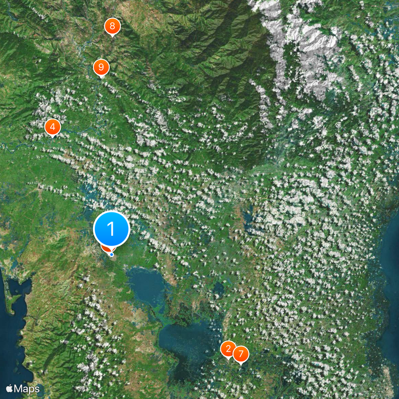
Sidenreng Rappang is an administrative regency in South Sulawesi with rolling hills, mountains, and farmland spread across its territory. The landscape transitions from lower elevations to higher mountain areas, creating diverse terrain throughout the region.
The regency originated from two separate Bugis kingdoms called Sidenreng and Rappang, each developing its own speech variations and local character. These communities eventually merged into a single administrative territory while maintaining aspects of their distinct heritage.
The Bugis people form the main community here and keep their way of life through rice farming and small-scale livestock raising, which shapes how villages function. You can see these traditions woven into everyday routines when walking through fields and settlements where families work side by side.
The administrative center Pangkajene Sidenreng connects the eleven districts through a network of roads leading to larger cities like Makassar. Travelers should account for varied terrain and mountain areas when planning how to move around the region.
A large wind power facility opened here in 2018 as Indonesia's first of its kind. This installation demonstrates how the region is moving toward renewable energy and modern technology.
The community of curious travelers
AroundUs brings together thousands of curated places, local tips, and hidden gems, enriched daily by 60,000 contributors worldwide.