
Maliana, city in East Timor
Location: Bobonaro Municipality
Elevation above the sea: 402 m
GPS coordinates: -8.99167,125.21972
Latest update: March 12, 2025 13:00

Mount Ramelau
31.6 km
Ave Maria church
36.3 km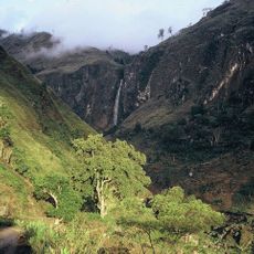
Bandeira Waterfall
24.4 km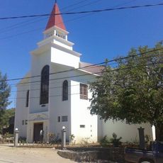
Sacred Heart Cathedral, Maliana
524 m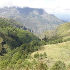
Kay Rala Xanana Gusmão National Park
41.4 km
Marobo hot springs
10.4 km
Fort Balibo
19.7 km
Reduto do Conselheiro Jacinto Cândido
27.6 km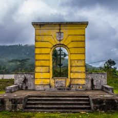
Memorial do Dom Aleixo
31.9 km
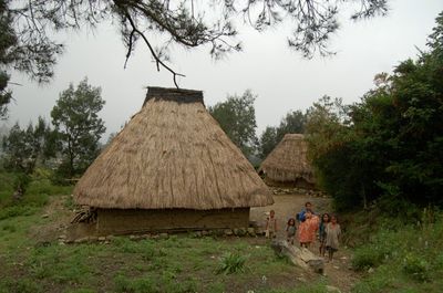
Urema
41.3 km
Carulema
40.3 km
Railuli
39.9 km
Fatunero
38.3 km
Ergoa
38.1 km
Nossa Senhora de Fátima
31.5 km
Manu-Lete
38.9 km
Hatu-Hou
37.9 km
Caicasaico
36.8 km
Urluli
38.4 km
Baura
41.4 km
Manupatia
39.5 km
Lebu-Ae
40 km
Assorlema
41.8 km
Tatrof Bohah Baliza
38.3 km
Siscoelema
36.8 km
Quirilelo
35.7 km
Caileli
40.5 km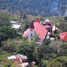
Igreja da Imaculada Conceição Bobonaro
12.3 kmReviews
Visited this place? Tap the stars to rate it and share your experience / photos with the community! Try now! You can cancel it anytime.
Discover hidden gems everywhere you go!
From secret cafés to breathtaking viewpoints, skip the crowded tourist spots and find places that match your style. Our app makes it easy with voice search, smart filtering, route optimization, and insider tips from travelers worldwide. Download now for the complete mobile experience.

A unique approach to discovering new places❞
— Le Figaro
All the places worth exploring❞
— France Info
A tailor-made excursion in just a few clicks❞
— 20 Minutes