
Henty, town in New South Wales, Australia
Location: Greater Hume Shire Council
GPS coordinates: -35.51709,147.03448
Latest update: March 4, 2025 08:34

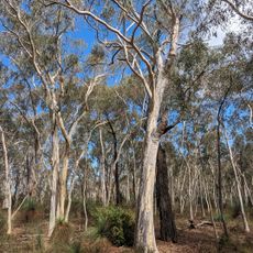
Livingstone National Park
33.8 km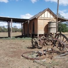
Westby
34.8 km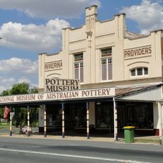
National Museum of Australian Pottery
34.3 km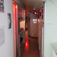
Holbrook Submarine Museum
34 km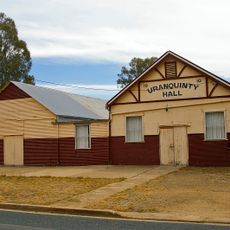
Uranquinty Hall
41.3 km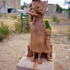
Kaia monument
40.9 km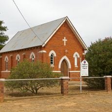
Trinity Lutheran church
41 km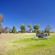
Kessler Park
50.4 km
Uranquinty Hotel
40.9 km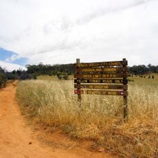
Pomingalarna Park
50.6 km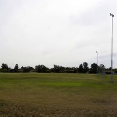
Rawlings Park
50.3 km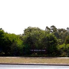
Ron Wheeler Park
50.1 km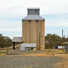
Uranquinty silos
40.8 km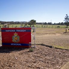
Kapooka Tragedy Memorial
48 km
Holbrook Library
34.2 km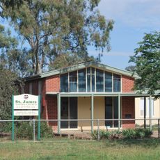
St James Uniting church, Uranquinty
41.2 km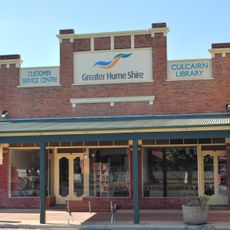
Culcairn Library
16.9 km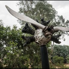
Uranquinty Flying Training School Memorial
40.9 km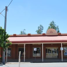
Henty Library
438 m
St Patrick's Roman Catholic church
40.7 km
St Cuthbert's Anglican church, Uranquinty
41 km
Kapooka Bridge
47.9 km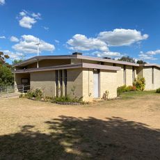
Church of Our Lady of the Blessed Eucharist
49.3 km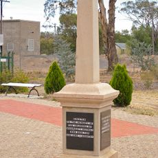
Uranquinty War Memorial
40.9 km
Red Hill Reserve
49.8 km
Kapooka Bridge
48.3 km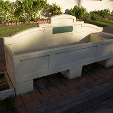
Horse trough
34.3 km
Horse trough
256 mReviews
Visited this place? Tap the stars to rate it and share your experience / photos with the community! Try now! You can cancel it anytime.
Discover hidden gems everywhere you go!
From secret cafés to breathtaking viewpoints, skip the crowded tourist spots and find places that match your style. Our app makes it easy with voice search, smart filtering, route optimization, and insider tips from travelers worldwide. Download now for the complete mobile experience.

A unique approach to discovering new places❞
— Le Figaro
All the places worth exploring❞
— France Info
A tailor-made excursion in just a few clicks❞
— 20 Minutes