
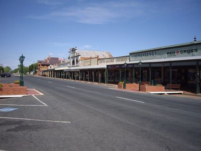
Lockhart, town in New South Wales, Australia
Location: Lockhart Shire Council
GPS coordinates: -35.22313,146.71710
Latest update: March 13, 2025 07:40
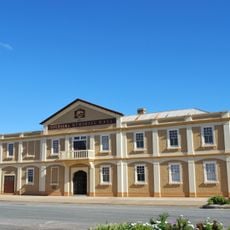
Urana Soldiers' Memorial Hall
42.7 km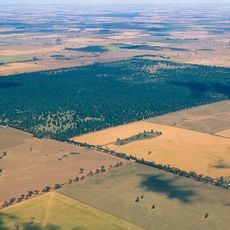
Lester State Forest
53.2 km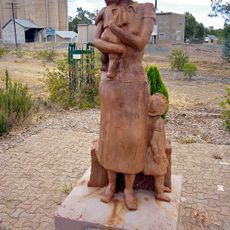
Kaia monument
48.2 km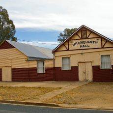
Uranquinty Hall
48.4 km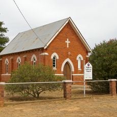
Trinity Lutheran church
48.5 km
Uranquinty Hotel
48.2 km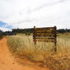
Pomingalarna Park
54.9 km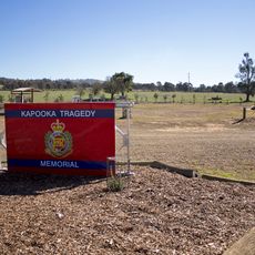
Kapooka Tragedy Memorial
53.5 km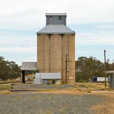
Uranquinty silos
48.1 km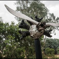
Uranquinty Flying Training School Memorial
48.2 km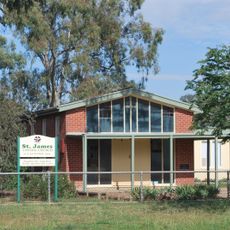
St James Uniting church, Uranquinty
48.1 km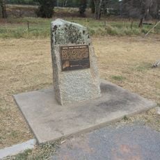
Aerial Trunk Route Memorial
54.4 km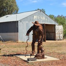
Swagman and Rusty
16.1 km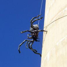
Itsy Bitsy
42.5 km
Toolbox
49.5 km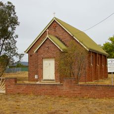
St Cuthbert's Anglican church, Uranquinty
48.5 km
Henty Library
44 km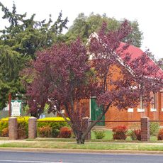
St Patrick's Roman Catholic church
48.1 km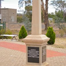
Uranquinty War Memorial
48.2 km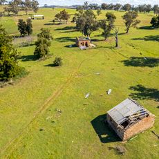
Moorong Station ruins
54.6 km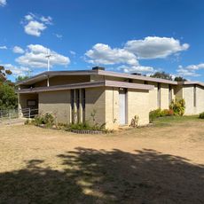
Church of Our Lady of the Blessed Eucharist
53.6 km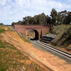
Kapooka Bridge
54.5 km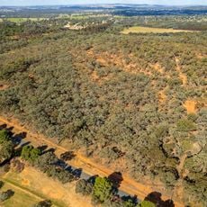
Red Hill Reserve
54.4 km
Kapooka Bridge
54.7 km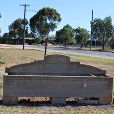
Horse trough
42.5 km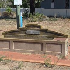
Horse trough
16.1 km
Horse trough
43.9 km
Urana Bird Aviary
42.3 kmReviews
Visited this place? Tap the stars to rate it and share your experience / photos with the community! Try now! You can cancel it anytime.
Discover hidden gems everywhere you go!
From secret cafés to breathtaking viewpoints, skip the crowded tourist spots and find places that match your style. Our app makes it easy with voice search, smart filtering, route optimization, and insider tips from travelers worldwide. Download now for the complete mobile experience.

A unique approach to discovering new places❞
— Le Figaro
All the places worth exploring❞
— France Info
A tailor-made excursion in just a few clicks❞
— 20 Minutes