
Cootamundra No. 3 AIFD, heritage-listed World War II fuel depot in New South Wales, Australia
Location: Cootamundra-Gundagai Regional Council
Address: 219 Sutton Street, Cootamundra NSW 2590
GPS coordinates: -34.65180,148.01480
Latest update: May 18, 2025 13:34
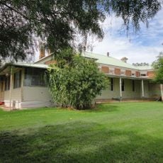
Cootamundra Domestic Training Home for Aboriginal Girls
3.1 km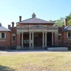
Cootamundra Courthouse
1.6 km
Bradman’s Birthplace Museum
2.4 km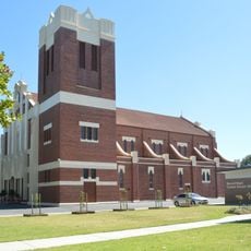
Sacred Heart Catholic Church
2.4 km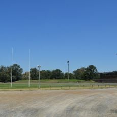
Fisher Park
2.1 km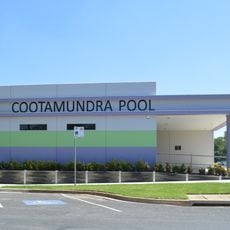
Cootamundra Swimming Pool
1.9 km
Clarke Oval
1.8 km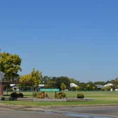
Mitchell Park
860 m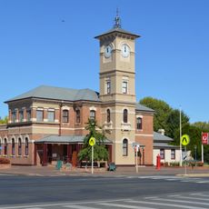
Cootamundra Post Office
1.6 km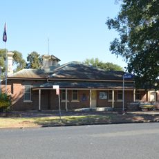
Cootamundra Police Station
1.5 km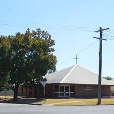
Scots Presbyterian Church
1 km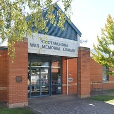
Cootamundra Library
1.7 km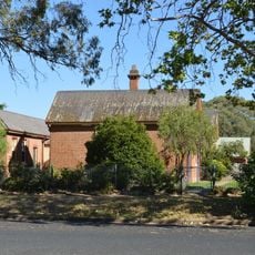
Cootamundra Police Station Office
1.5 km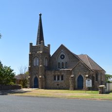
Cootamundra Uniting Church
2.1 km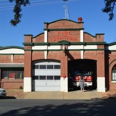
Cootamundra Fire Station
2.1 km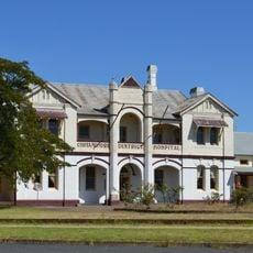
Former Cootamundra District Hospital
1.4 km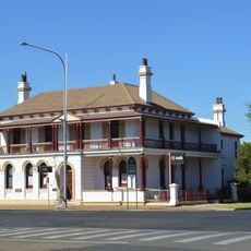
CBC Bank building, Cootamundra
1.5 km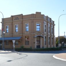
Bank of Australasia building
1.7 km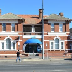
ANZ Bank building, Cootamundra
1.8 km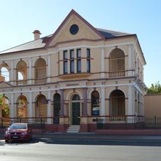
Westpac Bank building, Cootamundra
1.8 km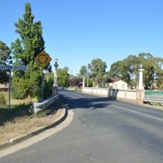
Stratton Bridge
1.6 km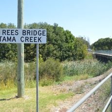
John Rees Bridge
1.7 km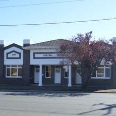
Austral Chambers
1.9 km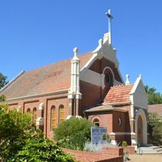
Cootamundra Baptist Church
1.5 km
Cootamundra Hospital
1.9 km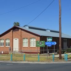
Drill Hall
1.4 km
Horse Trough
270 m
Norfolk Building
1.7 kmReviews
Visited this place? Tap the stars to rate it and share your experience / photos with the community! Try now! You can cancel it anytime.
Discover hidden gems everywhere you go!
From secret cafés to breathtaking viewpoints, skip the crowded tourist spots and find places that match your style. Our app makes it easy with voice search, smart filtering, route optimization, and insider tips from travelers worldwide. Download now for the complete mobile experience.

A unique approach to discovering new places❞
— Le Figaro
All the places worth exploring❞
— France Info
A tailor-made excursion in just a few clicks❞
— 20 Minutes